Acari River (Amazonas)
Acari River (Portuguese: Rio Acari) is a river of Amazonas state in north-western Brazil.
| Acari River | |
|---|---|
 | |
| Native name | Rio Acari (Portuguese) |
| Location | |
| Country | Brazil |
| Physical characteristics | |
| Source | |
| • location | Amazonas state |
| Mouth | |
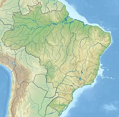
• coordinates | 5.282220°S 59.681626°W |
| Basin features | |
| River system | Canumã River |
Course
The river flows through the 896,411 hectares (2,215,080 acres) Acari National Park created by president Dilma Rousseff in 2016 in the last week before her provisional removal from office.[1] It defines the eastern boundary of the 589,611 hectares (1,456,960 acres) Juma Sustainable Development Reserve, created in 2006.[2] It joins the Sucunduri River from the left, and the downstream section is known as the Canumã River.
See also
References
- PARNA do Acari – ISA.
- Viana 2010, p. 28.
Sources
- PARNA do Acari (in Portuguese), ISA: Instituto Socioambiental, retrieved 2016-06-12
- Viana, Virgilio (March 2010), Plano de Gestão da RDS do Juma (PDF) (in Portuguese), retrieved 2016-06-15
This article is issued from Wikipedia. The text is licensed under Creative Commons - Attribution - Sharealike. Additional terms may apply for the media files.