Alatona
Alatona is a locality in the Cercle of Niono in the Ségou Region of southern-central Mali. It encompasses the zone covered by the Alatona Irrigation Project, a part of the Office du Niger scheme. Alatona was originally a small village (former site is at 14.8027°N 5.9362°W) that was abandoned after droughts in the early seventies forced its inhabitants to move closer to the waters of the Fala de Molodo.[1] The population of the former village was 127 in 2007[2] before the irrigation projects works started, and its old site turned into farmland. The original village was located in the Dogofry commune and is still listed as such by the Malian government,[3] Although the Alatona Irrigation Project extends to the neighboring commune of Diabaly.
Alatona | |
|---|---|
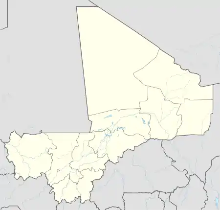 Alatona Location in Mali | |
| Coordinates: 14.8027°N 5.9362°W | |
| Country | |
| Region | Ségou Region |
| Cercle | Niono Cercle |
| Time zone | UTC+0 (GMT) |
References
- "Plan d'Actions de Réinstallation pour le Projet d'irrigation de Alatona" (PDF). MCA-Mali. Retrieved 16 January 2013.
- Plan de Sécurité Alimentaire Commune Rurale de Dogofry 2007-2011 (PDF) (in French), Commissariat à la Sécurité Alimentaire, République du Mali, USAID-Mali, 2007, archived from the original (PDF) on 2012-09-05, retrieved 2013-01-18.
- Communes de la Région de Ségou (PDF) (in French), Ministère de l’administration territoriale et des collectivités locales, République du Mali, archived from the original (PDF) on 2012-09-19.
This article is issued from Wikipedia. The text is licensed under Creative Commons - Attribution - Sharealike. Additional terms may apply for the media files.