Albatross Bay
Albatross Bay is a bay on the eastern shores of the Gulf of Carpentaria, Queensland, Australia.[1]
| Albatross Bay | |
|---|---|
 Looking from Mission River out to Albatross Bay, 2020 | |
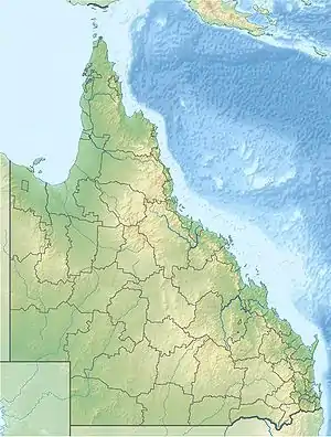 Albatross Bay | |
| Location | Queensland |
| Group | Gulf of Carpentaria |
| Coordinates | 12.7156°S 141.6633°E |
| Type | bay |
| Settlements | Weipa, Mission River |
Geography
The bay is offshore from the localities of Mission River (in both Shire of Cook and Aboriginal Shire of Napranum), a number of localities in Weipa Town (Rocky Point, Trunding, Nanum, Evans Landing) and Aurukun (in the Shire of Aurukun).[2]
Three rivers flow into the bay:[2]
History
The bay was named after the Queensland Government's steamer Albatross. The name was chosen either by its master Captain Kerr or by John Douglas when he was the Government Resident at Thursday Island.[1][6]
References
| Wikimedia Commons has media related to Albatross Bay. |
- "Albatross Bay – bay in Cook Shire (entry 215)". Queensland Place Names. Queensland Government. Retrieved 31 December 2020.
- "Queensland Globe". State of Queensland. Retrieved 31 December 2020.
- "Mission River – watercourse in Cook Shire (entry 22317)". Queensland Place Names. Queensland Government. Retrieved 31 December 2020.
- "Embley River – watercourse in Cook Shire (entry 22317)". Queensland Place Names. Queensland Government. Retrieved 31 December 2020.
- "Hey River – watercourse in Cook Shire (entry 11595)". Queensland Place Names. Queensland Government. Retrieved 31 December 2020.
- "Queensland Places - Gulf of Carpentaria - Albatross Bay". State Library of Queensland. 5 February 2015. Retrieved 30 December 2020.
This article is issued from Wikipedia. The text is licensed under Creative Commons - Attribution - Sharealike. Additional terms may apply for the media files.