Aluona Hydrographical Sanctuary
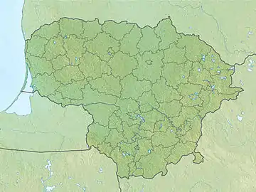
The Aluona Hydrographical Sanctuary (Lithuanian: Aluonos hidrografinis draustinis) is a protected area of a state importance in Josvainiai Eldership of Kėdainiai District Municipality and Babtai Eldership of Kaunas District Municipality, in central Lithuania. It was established in 1992 and covers an area of 1.8 square kilometres (0.69 sq mi).[1] It covers the middle and the lower course of the Aluona. The sanctuary starts in Skaistgiriai village surroundings and ends near the Aluona confluence with the Nevėžis.
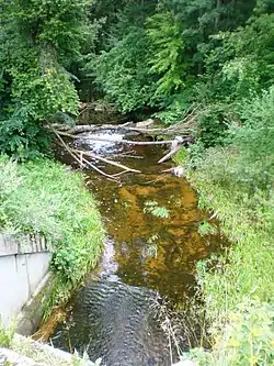
The lower course of the Aluona
| Aluona Hydrographical Sanctuary | |
|---|---|
IUCN category VI (protected area with sustainable use of natural resources) | |
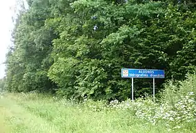 A roadsign of the sanctuary | |
 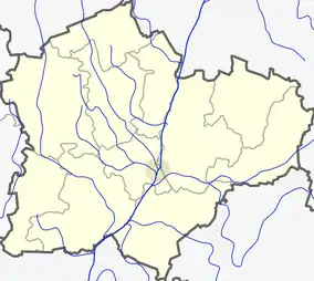 | |
| Location | Josvainiai Eldership, Kėdainiai District Municipality and Babtai Eldership, Kaunas District Municipality, Lithuania |
| Nearest town | Josvainiai |
| Coordinates | 55°09′22″N 23°47′17″E |
| Area | 1.8 km2 (0.69 sq mi) |
| Established | 1992 |
| Governing body | Lithuanian Service of Protected Areas |
The aim of the sanctuary is to protect a picturesque valley of the Aluona river with clearly seen erosive relief forms and the natural loopy course of the river.[1]
References
- "Draustiniai". keduredija.lt. Kėdainių miškų urėdija. Archived from the original on 2008-03-19.
This article is issued from Wikipedia. The text is licensed under Creative Commons - Attribution - Sharealike. Additional terms may apply for the media files.