Anderson Mesa
Anderson Mesa (Navajo: Hosh Dikʼání[2]) is an approximately 5-long-mesa located at 35°03′18″N 111°26′24″W, 20 miles southeast of Flagstaff, Arizona, east of Lake Mary and north of Mormon Lake, in Coconino County.
| Anderson Mesa | |
|---|---|
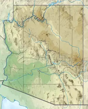 Anderson Mesa Location in Arizona | |
| Highest point | |
| Elevation | 7,211 ft (2,198 m) NAVD 88[1] |
| Coordinates | 35°08′27″N 111°30′45″W [1] |
| Geography | |
| Location | Coconino County, Arizona, U.S. |
| Geology | |
| Mountain type | Mesa |
This mesa landform, with an elevation between 6,200 and 7,200 feet (1,900 and 2,200 m),[3] has been the site of Lowell Observatory's Anderson Mesa Station since 1959. Because it is also very flat, it is also home to the Naval Observatory's Navy Precision Optical Interferometer, or "NPOI", since 1992.
See also
References
- "Marshall". NGS data sheet. U.S. National Geodetic Survey. Retrieved 2016-08-23.
- Linford, Laurence D. Navajo Places. History, Legend, Landscape. University of Utah Press. Salt Lake City, UT: 2000.
- Neff, D., J., and N. G. Woolsey. 1979. Effect of predation by coyotes on survival of antelope fawns on Anderson Mesa. Special Report 8, Arizona Game and Fish Department, Phoenix, Arizona.
This article is issued from Wikipedia. The text is licensed under Creative Commons - Attribution - Sharealike. Additional terms may apply for the media files.