Angora Peak
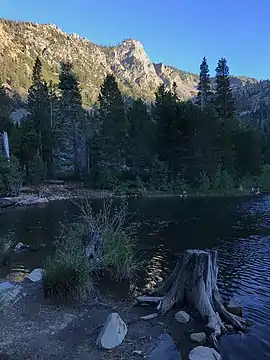
Angora Peak is a summit in the Sierra Nevada south of Lake Tahoe in El Dorado County, California. The summit marks a point on the eastern boundary of the Desolation Wilderness and is in the Eldorado National Forest.
| Angora Peak | |
|---|---|
 | |
| Highest point | |
| Elevation | 8,588 ft (2,618 m) NGVD 29[1] |
| Prominence | 168 ft (51 m) [1] |
| Coordinates | 38°52′02″N 120°04′22″W [2] |
| Geography | |
 Angora Peak  Angora Peak | |
| Location | El Dorado County, California, U.S. |
| Parent range | Sierra Nevada |
| Topo map | USGS Echo Lake |
| Climbing | |
| Easiest route | Hike, class 2 to 3[3] |
The peak is located south of Fallen Leaf Lake and northwest of the Angora Lakes.
References
- "Angora Peak CA". ListsOfJohn.com. Retrieved 2016-04-01.
- "Angora Peak". Geographic Names Information System. United States Geological Survey. Retrieved 2009-06-30.
- "Angora Peak". Tahoe Adventure Sports. Archived from the original on 2011-07-16. Retrieved 2009-12-09.
This article is issued from Wikipedia. The text is licensed under Creative Commons - Attribution - Sharealike. Additional terms may apply for the media files.