Antelope Valley (Elko-White Pine Counties)
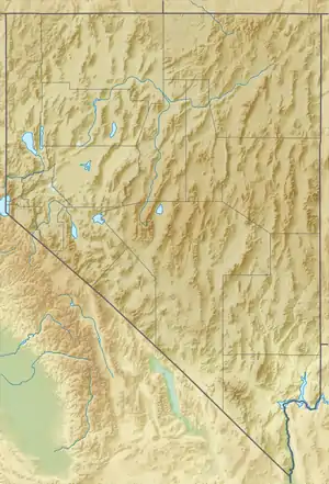
The Antelope Valley adjacent to the Nevada/Utah state line, and located in southeast Elko County and northeast White Pine County, Nevada is a 70 mi (113 km) long[1] endorheic valley. The valley curves around the Dolly Varden and Kinsley Mountains, and the Antelope Range.
| Antelope Valley | |
|---|---|
 Antelope Valley The Kinsley Mountains within the Antelope Valley are in Elko County. | |
| Length | 70 mi (110 km) |
| Geography | |
| Location | Kinsley Mountains |
| Country | United States |
| State | Nevada |
| Districts | Elko County and White Pine County |
| Population center | Tippett, NV |
| Borders on | |
| Coordinates | 40°9′54.761″N 114°20′22.056″W |
The valley is separated into two sections north and south, with an unnamed badlands region, at 40°07′45″N 114°07′59″W (though labelled as such[1]) between eastern mountain ranges on its central-east perimeter. These badlands are on the Nevada/Utah border and southeast of Ferber Hills a small range of hills, mostly in Elko County, Nevada and partially in Tooele County, Utah.
A large two-lobed playa region makes up most of the south valley region, and can be easily seen from surrounding mountain ridgelines.
Description
Antelope Valley is about 70 mi long, north-south, but arc-shaped pointing due-west around the three mountain ranges. The center of the valley is adjacent the small range, 3 by 8 mi long, the Kinsley Mountains slightly offset by Kinsley Draw,[1] from the Antelope Range southwest; it is also separated from the Dolly Varden Mountains northwest by three small watershed areas of the north Antelope Range's foothills.
Two sections of the valley are created, a northwest-trending section, and the other, southwest-trending. The north section borders the southwest of Goshute Valley.[2] The south merges into the extensive north-south Spring Valley, the north end of which extends into a bifurcation at the southwest end of the Antelope Range, where the Schell Creek Range is bordered to the west. [3]
Access
U.S. Route 93 (Alternate) crosses the southern section of the north valley toward the Goshute Mountains.
References
- Nevada Atlas & Gazetteer, p. 41.
- Nevada Atlas & Gazetteer, pp. 33, 41.
- U.S. Geological Survey Geographic Names Information System: Spring Valley