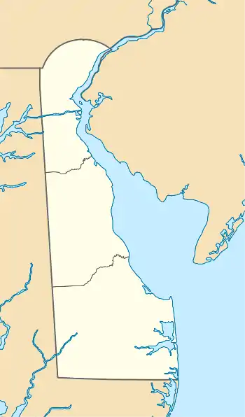
Army Creek
Army Creek is a 4-mile (6.4 km) long river in northern Delaware in the United States that drains about 10 square miles (26 km2).[3] The stream is controlled by a floodgate just downstream of DE 9 that does not allow tidal influence of the stream.[3]
| Army Creek Armstrong Creek Mill Creek[1] | |
|---|---|
  | |
| Location | |
| Country | United States |
| State | Delaware |
| County | New Castle |
| Physical characteristics | |
| Source | watershed divide between Army Creek and Christina River |
| • location | near Buena Vista State Conference Center |
| • coordinates | 39°38′04″N 075°38′34″W[2] |
| • elevation | about 60 feet |
| Mouth | |
• location | 1 mile SW of New Castle, Delaware |
• coordinates | 39°39′05″N 075°35′14″W[2] |
• elevation | sea level (0 ft.) |
| Length | 4 miles (6.4 km)[2] |
| Basin features | |
| Progression | East-Northeast |
| River system | Delaware River |
| Tributaries | |
| • left | several unnamed tributaries |
| • right | several unnamed tributaries |
| Waterbodies | one unnamed impoundment |
| Bridges | US 13 DE 9 |
The source of Army Creek is near the eastern edge of Bear, Delaware in the south and New Castle County Airport in the north. The water then flows ENE to the Delaware River about 1 mile (1.6 km) SW of New Castle, Delaware, at Dobbinsville. Most of the watershed is urban/residential.
The watershed is the scene of two Superfund sites owing to the urban/industrial history.[3]
See also
References
- Heck, L.W.; Wraight, A.J.; Orth, D.J.; Carter, J.R.; VanWinkle, L.G.; Hazen, Janet (1966). Delaware Place Names. Washington, DC: US Geological Survey. p. 9.
- "Army Creek". Geographic Names Information System. United States Geological Survey. Retrieved May 20, 2019.
- "Army Creek | Delaware Watersheds". Delaware Watersheds. Delaware Division of Watershed Stewardship and University of Delaware Water Resources Center. Retrieved 20 May 2019.
External links
- Delaware Watersheds
- Total Maximum Daily Loads (TMDLs) Analysis for the Watersheds of Army Creek, Delaware
This article is issued from Wikipedia. The text is licensed under Creative Commons - Attribution - Sharealike. Additional terms may apply for the media files.