Attanagalu Oya
Attanagalu Oya (Sinhala: අත්තනගලු ඹය) is a river in Gampaha District, Sri Lanka.[1][2]
| Attanagalu Oya | |
|---|---|
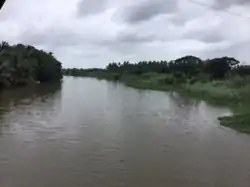 Attanagalu Oya, near Dandugama | |
 | |
| Native name | අත්තනගලු ඹය (Sinhala) |
| Location | |
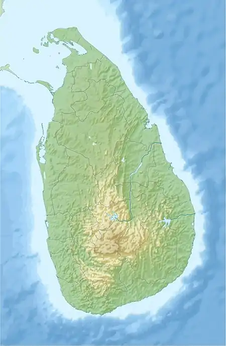
| Country | Sri Lanka |
| Physical characteristics | |
| Source | Kegalle District |
| • location | Galapitamada |
| Mouth | Negombo Lagoon |
• location | Dandugama |
• coordinates | 07°10′N 79°53′E |
| Length | 76 km (47 mi) |
| Basin size | 727 km2 (281 sq mi) |
| Discharge | |
| • average | 40 m3/s (1,400 cu ft/s) |
| • minimum | 20 m3/s (710 cu ft/s) |
| • maximum | 100 m3/s (3,500 cu ft/s) |
The length of the river is approximately 76 km, with a drainage basin of 727 km2.[1][3][4] It originates from Galapitamada area in Kegalle district and drains into the Negombo Lagoon as Dandugam Oya.[5][6] The river is often a cause of floods to low-lying areas in the Gampaha district.
Hydrology
The river originates from lower peneplains of Kegalle District in Galapitamada area. It is joined by the left tributaries Basnagoda Oya and Waharaka Oya in Karasnagala and later joined by Algama Oya further down stream close to Attanagalla town.
Oruwal Oya and Diyaeli Oya joins the Attanagalu Oya in Gampaha. The river then flows in a northerly direction and joined by Kimbulapitiya oya and Mapalan Oya in Madawala (near Katunayake) and forms Dandugam Oya, Attanagalu Oya-Dandugam Oya river system then finally discharges into Negombo Lagoon in Dandugama Area where Muthurajawela meets Negombo Lagoon. Close to its mouth it is also joined by Ja-Ela which is a diversion of the Oruwal Oya.
Tributaries
References
- Pathirana, C. D. K.; Bandara, N. J. G. J.; Jayaweera, C. D. (2012-12-20). "Investigation of the pollution extent of Attanagalu Oya". Proceedings of International Forestry and Environment Symposium. 17. doi:10.31357/fesympo.v17i0.1054 (inactive 2021-01-13). ISSN 2235-9427.CS1 maint: DOI inactive as of January 2021 (link)
- "preliminary_study_on_pethia_reval_meegaskumbura_Pethiyagoda_2008_and_other_related_ichthyofauna_of_Attanagalu_oya_river_basin_Sri_Lanka".
- "International Forestry and Environment Symposium".
- Wijesekera, Sohan; Perera, L (2016-05-02). "Key Issues of Data and Data Checking for Hydrological Analyses - Case Study of Rainfall Data in the Attanagalu Oya Basin of Sri Lanka". Engineer: Journal of the Institution of Engineers, Sri Lanka. 45 (2): 1. doi:10.4038/engineer.v45i2.6936.
- "Preliminary Groundwater Assessment and Water Quality Study in the Shallow Aquifer System in the Attanagalu Oya Basin" (PDF).
- "Template for Submission of Scientific Information to Describe Areas Meeting Scientific Criteria for Ecologically or Biologically Significant Marine Areas" (PDF).