Auzouville-Auberbosc
Auzouville-Auberbosc is a former commune in the Seine-Maritime department in the Normandy region in northern France. On 1 January 2017, it was merged into the new commune Terres-de-Caux.[2]
Auzouville-Auberbosc | |
|---|---|
Part of Terres-de-Caux | |
Location of Auzouville-Auberbosc 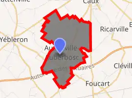
| |
 Auzouville-Auberbosc  Auzouville-Auberbosc | |
| Coordinates: 49°37′38″N 0°34′14″E | |
| Country | France |
| Region | Normandy |
| Department | Seine-Maritime |
| Arrondissement | Le Havre |
| Canton | Saint-Valery-en-Caux |
| Commune | Terres-de-Caux |
| Area 1 | 6.08 km2 (2.35 sq mi) |
| Population (2017)[1] | 299 |
| • Density | 49/km2 (130/sq mi) |
| Time zone | UTC+01:00 (CET) |
| • Summer (DST) | UTC+02:00 (CEST) |
| Postal code | 76640 |
| Elevation | 121–149 m (397–489 ft) (avg. 140 m or 460 ft) |
| Website | https://auzouville-auberbosc.terres-de-caux.fr/ |
| 1 French Land Register data, which excludes lakes, ponds, glaciers > 1 km2 (0.386 sq mi or 247 acres) and river estuaries. | |
Geography
A farming village situated in the Pays de Caux, some 21 miles (34 km) northeast of Le Havre, at the junction of the D109 and the D104. The A29 autoroute passes by in the southern part of the commune
Population
| Year | 1962 | 1968 | 1975 | 1982 | 1990 | 1999 | 2006 | 2014 |
|---|---|---|---|---|---|---|---|---|
| Population | 230 | 187 | 179 | 202 | 258 | 258 | 271 | 318 |
| From the year 1962 on: No double counting—residents of multiple communes (e.g. students and military personnel) are counted only once. | ||||||||
Places of interest
- The church of St.Leger at Auzouville, dating from the sixteenth century.
- The church of St.Leger at Auberbosc, dating from the eleventh century.
- A medieval manorhouse.
References
- Téléchargement du fichier d'ensemble des populations légales en 2017, INSEE
- Arrêté préfectoral 12 September 2016 (in French)
| Wikimedia Commons has media related to Auzouville-Auberbosc. |
| Authority control |
|---|
This article is issued from Wikipedia. The text is licensed under Creative Commons - Attribution - Sharealike. Additional terms may apply for the media files.