Baviaanskloof River
The Baviaanskloof River is a river flowing through the Cape Fold Mountains of the Western Cape and eventually Eastern Cape provinces of South Africa. The river's origin is in the eastern extremity of the Little Karoo, and follows a valley between these mountains eastwards. It ends at a confluence with the Kouga River, some 80 km from its source.
| Baviaanskloof River | |
|---|---|
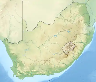 Location of the Baviaanskloof River mouth | |
| Location | |
| Country | South Africa |
| Province | Eastern Cape, Western Cape |
| Physical characteristics | |
| Mouth | Kouga River |
• location | Confluence |
• coordinates | 33°39′57″S 24°23′30″E |
• elevation | 165 m (541 ft) |
| Length | 80 km (50 mi) |
It is flanked by the Baviaanskloof Mountains to the north and the Kouga Mountains to the south, and it receives numerous small tributaries from both. Agricultural settlements along the river include Studtis and Sandvlakte. The valley is situated about 35 km north of the Langkloof, which is comparable though larger.
The Kouga River, which rises in the Langkloof has the isolated Baviaanskloof River as its major tributary. The Baviaanskloof river is part of the Fish to Tsitsikama Water Management Area.[1]
Baviaan, meaning baboon, is a translation of the river's original Khoikhoi name, i Ncwama, also believed to mean "baboon". Beutler consequently named the river the Gomee or Baviaans.[2][3] Robert Gordon however named it the Prehns River, in honour of a commander of the Cape garrison.[2]
See also
Notes
- Fish to Tsitsikama WMA 15
- du Plessis, E.J. (1973). Suid-Afrikaanse berg- en riviername. Tafelberg-uitgewers, Cape Town. p. 201. ISBN 0-624-00273-X.
- Arbousset, T.; F. Daumas (1968). Narrative of an Exploratory Tour ... Colony of the Cape of Good Hope. C. Struik. p. 36.