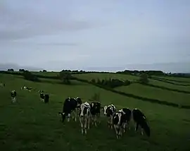
Beaminster Down
At 244 metres, Beaminster Down is one of the highest hills in West Dorset, England.
| Beaminster Down | |
|---|---|
 Beaminster Down viewed from the Monarch's Way looking southwest | |
| Highest point | |
| Elevation | 244 m (801 ft) [1] |
| Coordinates | 50.8283°N 2.71711°W |
| Geography | |
| Location | Dorset, England |
| Parent range | Dorset Downs |
| OS grid | ST493033 |
| Topo map | OS Landranger No. 194 |
Location
Beaminster Down is common land[2] on the Dorset Downs and overlooks the steep scarp slope above the town of Beaminster, which is about a mile and a half to the southwest. The hill is crossed by 2 long-distance trails, 2 minor roads and several other tracks.[1]
History
There is evidence of prehistoric settlement on in the form of tumuli to the northeast.[1] Grenade practice took place in the sandbagged, zig-zag trenches on Beaminster Down during the Second World War.[3]
References
- Ordnance Survey 1:50,000 Landranger series.
- Beaminster Down at common-land.com. Accessed on 29 Mar 2013.
- Beaminster at war at www.dorsetlife.co.uk. Accessed on 29 Mar 2013.
This article is issued from Wikipedia. The text is licensed under Creative Commons - Attribution - Sharealike. Additional terms may apply for the media files.