Belozem Hill
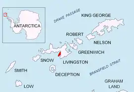
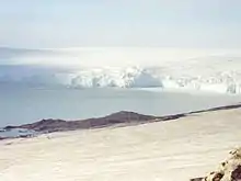
Belozem Hill (Halm Belozem \'h&lm be-lo-'zem\) is the northeasternmost of a chain of hills along Bulgarian Beach on Hurd Peninsula in the east of Livingston Island, South Shetland Islands in Antarctica. The hill is boulder-clay capped with twin summits; the higher east-northeastern of them rising to 41 m. It is snow free in summer. The hill was mapped by the Spanish Servicio Geográfico del Ejército in 1991, and by Bulgaria in 1996 and 2005.


Belozem is the name of a settlement in southern Bulgaria, ‘belozem’ being the Bulgarian for ‘white soil.’
Location
The hill is located at 62°38′08″S 60°20′52″W which is 880m northeast of Sinemorets Hill, 3.8 km west-southwest of Rezen Knoll and 2.12 km south by west of Aleko Point. (According to a 1995-96 Bulgarian topographic survey.)
See also
Maps
- Isla Livingston: Península Hurd. Mapa topográfico de escala 1:25000. Madrid: Servicio Geográfico del Ejército, 1991. (Map reproduced on p. 16 of the linked work)
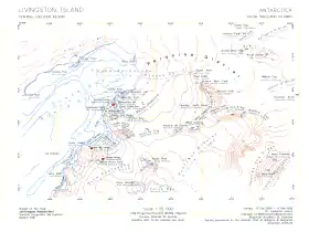
- L.L. Ivanov. Livingston Island: Central-Eastern Region. Scale 1:25000 topographic map. Sofia: Antarctic Place-names Commission of Bulgaria, 1996.
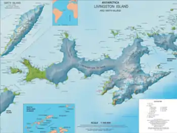
- L.L. Ivanov et al. Antarctica: Livingston Island and Greenwich Island, South Shetland Islands. Scale 1:100000 topographic map. Sofia: Antarctic Place-names Commission of Bulgaria, 2005.
- L.L. Ivanov. Antarctica: Livingston Island and Greenwich, Robert, Snow and Smith Islands. Scale 1:120000 topographic map. Troyan: Manfred Wörner Foundation, 2009. ISBN 978-954-92032-6-4
- Antarctica, South Shetland Islands, Livingston Island: Bulgarian Antarctic Base. Sheets 1 and 2. Scale 1:2000 topographic map. Geodesy, Cartography and Cadastre Agency, 2016. (in Bulgarian)
- Antarctic Digital Database (ADD). Scale 1:250000 topographic map of Antarctica. Scientific Committee on Antarctic Research (SCAR). Since 1993, regularly upgraded and updated.
- L.L. Ivanov. Antarctica: Livingston Island and Smith Island. Scale 1:100000 topographic map. Manfred Wörner Foundation, 2017. ISBN 978-619-90008-3-0
References
- Belozem Hill. SCAR Composite Gazetteer of Antarctica
- Bulgarian Antarctic Gazetteer. Antarctic Place-names Commission. (details in Bulgarian, basic data in English)
External links
- Belozem Hill. Copernix satellite image
This article includes information from the Antarctic Place-names Commission of Bulgaria which is used with permission.