Bilokurakyne
Bilokurakyne (Ukrainian: Білокуракине, Russian: Белокуракино) is an urban-type settlement and the administrative center of Bilokurakyne Raion of Luhansk Oblast in Ukraine. It is located on the Bila River, a right tributary of the Aidar, in the basin of the Don. Population: 6,512 (2020 est.)[1]
Bilokurakyne
Білокуракине | |
|---|---|
Urban-type settlement | |
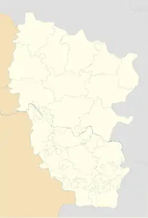 Bilokurakyne Location in Luhansk Oblast 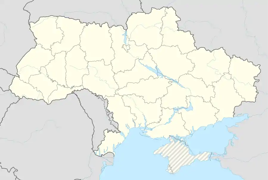 Bilokurakyne Location in Ukraine | |
| Coordinates: 49°31′38″N 38°46′15″E | |
| Country | Ukraine |
| Oblast | Luhansk Oblast |
| Raion | Bilokurakyne Raion |
| Population (2020) | |
| • Total | 6,512[1] |
| Time zone | UTC+2 (EET) |
| • Summer (DST) | UTC+3 (EEST) |
Economy
Transportation
Bilokurakyne is connected by road with Starobilsk where it has further access to Highway H26 ro Svatove and Bilovodsk, as well as to Highway H21 to Luhansk. However, the section between Shchastya and Luhansk is controlled by the Luhansk People's Republic, and free movement from Shchastya to Luhansk is impossible.
There is a railway line in Bilokurakyne, which is currently disconnected from the rest of the railway network in Ukraine. To the south, it extends to Starobilsk and Kondrashivska Nova, in Stanytsia Luhanska, and to the north it crosses the border to Russia, and further runs to Valuyki. Bilokurakyne railway station has infrequent passenger traffic between Kondrashivska Nova and Lantrativka.
References
- "Чисельність наявного населення України (Actual population of Ukraine)" (PDF) (in Ukrainian). State Statistics Service of Ukraine. Retrieved 30 September 2020.
| Raions | |||||
|---|---|---|---|---|---|
| Hromadas | |||||
| Cities |
| ||||
| |||||