Black Meldon
Black Meldon is a prehistoric site, a hillfort near the village of Lyne and about 4 miles (6 km) west of Peebles, in the Scottish Borders, Scotland. It is a Scheduled Monument.[1]
.jpg.webp) Remains of the boundary wall of the fort | |
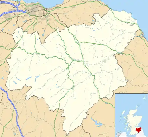 Shown within Scottish Borders | |
| Location | Near Lyne, Scotland grid reference NT 206 425 |
|---|---|
| Coordinates | 55°40′10″N 3°15′48″W |
| Altitude | 407 m (1,335 ft) |
| Type | Hillfort |
| History | |
| Periods | Iron Age |
| Reference no. | SM2703 |
The hillfort on the neighbouring hill White Meldon is about 1 mile (1.6 km) to the east, on the other side of Meldon Burn.
Description
The hill has elevation 407 metres (1,335 ft).[2] There is a gentle slope from the summit on the west side, steeper on other sides. The roughly oval fort on the summit is 73 metres (240 ft) north–south and 40 metres (130 ft) west–east, defined by a boundary wall, which is now a band of debris about 3 metres (10 ft) wide. On the north, west and south sides there is the debris of an outer wall.[3]
Within the fort, at least three house-platforms have been detected.[3]
References
| Wikimedia Commons has media related to Black Meldon. |
- Historic Environment Scotland. "Black Meldon, fort (SM2703)". Retrieved 4 December 2020.
- "Black Meldon" The Mountain Guide. Retrieved 4 December 2020.
- Historic Environment Scotland. "Black Meldon (51547)". Canmore. Retrieved 4 December 2020.