Blue Mesa Summit
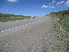
Blue Mesa Summit (elevation 8,704 feet (2,653 m)) is a mountain pass in Gunnison County of west-central Colorado. The pass is traversed by U.S. Route 50 and divides the watersheds of Little Cimarron Creek to the west and Blue Creek to the east.[1]
| Blue Mesa Summit | |
|---|---|
 Blue Mesa Summit | |
| Elevation | 8,704 ft (2,653 m)[1] |
| Traversed by | |
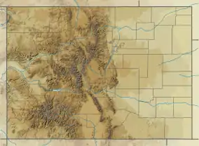
| Location | Gunnison County, Colorado |
| Coordinates | 38°23′10″N 107°26′01″W |
| Topo map | USGS Curecanti Needle |
 Blue Mesa Summit Colorado | |
Blue Mesa Summit had long been used by Utes, trappers, and explorers who were traveling between the Gunnison Valley to the east and the Uncompahgre Valley to the west, and by the 1870s a wagon road had been constructed over the pass.[1][2]
References
External links
- Blue Mesa Summit, passbagger.org
This article is issued from Wikipedia. The text is licensed under Creative Commons - Attribution - Sharealike. Additional terms may apply for the media files.