Boutilimit Airport
Boutilimit Airport (IATA: OTL, ICAO: GQNB) is an airport serving the town of Boutilimit in Mauritania.
Boutilimit Airport | |||||||||||
|---|---|---|---|---|---|---|---|---|---|---|---|
| Summary | |||||||||||
| Airport type | Public | ||||||||||
| Serves | Boutilimit | ||||||||||
| Elevation AMSL | 121 ft / 37 m | ||||||||||
| Coordinates | 17°32′10″N 14°40′10″W | ||||||||||
| Map | |||||||||||
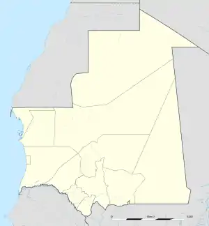 OTL Location of the airport in Mauritania | |||||||||||
| Runways | |||||||||||
| |||||||||||
Source: Google Maps[1] | |||||||||||
In 2015, construction was started on an approximately 2,300 metres (7,500 ft) paved runway to replace the old sand runway[2] that was being encroached upon by the town.
References
- Google Maps - Boutilimit
- "Google Maps". Google Maps. Retrieved 2018-08-21.
External links
This article is issued from Wikipedia. The text is licensed under Creative Commons - Attribution - Sharealike. Additional terms may apply for the media files.