Broad River (Manitoba)
The Broad River is a river in the Hudson Bay drainage basin in Census division 23 in Northern Manitoba, Canada.[1] Its flows from an unnamed lake to Hudson Bay.[2]
| Broad River | |
|---|---|
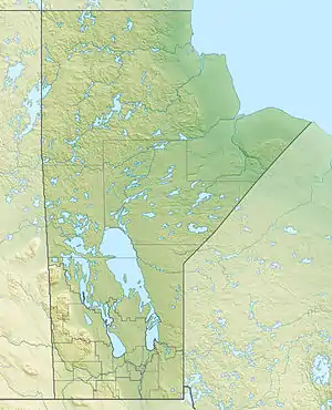 Location of the mouth of the Broad River in Manitoba | |
| Location | |
| Country | Canada |
| Province | Manitoba |
| Region | Northern |
| Census division | 23 |
| Physical characteristics | |
| Source | Unnamed lake |
| • coordinates | 57°34′22″N 94°18′01″W |
| • elevation | 108 m (354 ft) |
| Mouth | Hudson Bay |
• coordinates | 58°08′13″N 92°50′58″W |
• elevation | 0 m (0 ft) |
| Basin features | |
| River system | Hudson Bay drainage basin |
The river is crossed north of the settlement of O'Day by the Hudson Bay Railway, travelled by the Via Rail Winnipeg – Churchill train.
A large portion of the river from its mouth upstream is part of Wapusk National Park.[3]
A site near the mouth of the river was considered for an atomic weapons proving ground for British nuclear testing with the cooperation of the Canadian government, but the Monte Bello Islands off the Northwestern coast of Australia was selected instead.[4]
See also
References
- "Broad River". Geographical Names Data Base. Natural Resources Canada. Retrieved 2012-07-08.
- "Broad River". Atlas of Canada. Natural Resources Canada. 2010-02-04. Retrieved 2012-07-08. Shows the course of the river on a topographic map.
- Map 17 (PDF) (Map). Official road map of Manitoba. Ministry of Industry, Trade and Tourism. 2010. Archived from the original (PDF) on 2012-10-06. Retrieved 2012-07-08.
- Clearwater, John; O'Brian, David (August 2003). "O Lucky Canada". Bulletin of the Atomic Scientists. 59 (4): 60–65.
This article is issued from Wikipedia. The text is licensed under Creative Commons - Attribution - Sharealike. Additional terms may apply for the media files.