Buckeye, Plumas County, California
Buckeye is a former travel station about halfway along the Oroville–Quincy Highway in Plumas County, California, near the border with Butte County.[2][3] It lay at an elevation of 4,997 feet (1,523 m).[1] The station stood as late as 1866, when it was noted in the Plumas County boundary survey.[4]
Buckeye | |
|---|---|
Named location | |
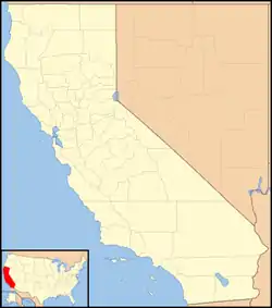 Buckeye Location in California  Buckeye Buckeye (the United States) | |
| Coordinates: 39°47′44″N 121°18′15″W | |
| Country | |
| State | |
| County | Plumas County |
| Elevation | 4,997 ft (1,523 m) |
References
- U.S. Geological Survey Geographic Names Information System: Buckeye, Plumas County, California
- Durham, David L. (1998). California's Geographic Names: A Gazetteer of Historic and Modern Names of the State. Clovis, Calif.: Word Dancer Press. p. 360. ISBN 1-884995-14-4.
- "Haun Collection Archival Map".
- California Political Code §3920.
This article is issued from Wikipedia. The text is licensed under Creative Commons - Attribution - Sharealike. Additional terms may apply for the media files.