Bunker Hill (Nevada)
Bunker Hill is the highest mountain in Lander County, within the Toiyabe Range of central Nevada, United States.[2] It is the twenty-second highest mountain in the state.[4] The peak is located within the Austin Ranger District of the Humboldt-Toiyabe National Forest, about 17 miles south of the small town of Austin and just northwest of the small town of Kingston.[1]
| Bunker Hill | |
|---|---|
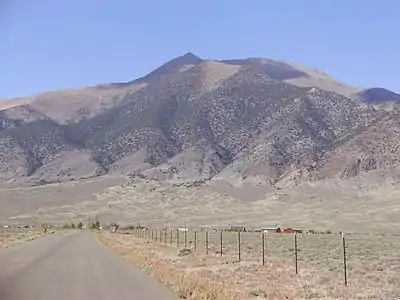 View of Bunker Hill from Kingston | |
| Highest point | |
| Elevation | 11,477 ft (3,498 m) NAVD 88[1] |
| Prominence | 2,793 ft (851 m) [2] |
| Listing | Nevada County High Points 5th |
| Coordinates | 39°15′10″N 117°07′34″W [1] |
| Geography | |
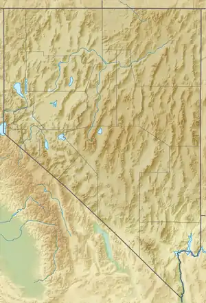 Bunker Hill Nevada, U.S. | |
| Location | Lander County, Nevada, U.S. |
| Parent range | Toiyabe Range |
| Topo map | USGS BUNKER HILL |
| Climbing | |
| Easiest route | From Kingston Summit, southeast along a 4-wheel drive road and then the ridgeline, Class 2 scramble[3] |
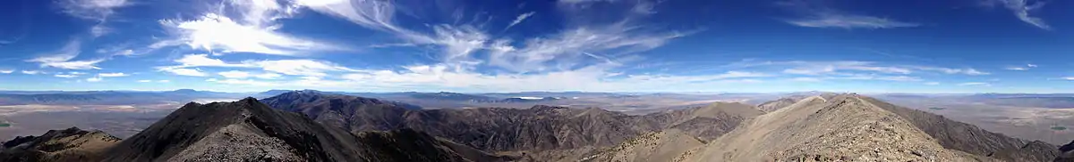
Summit panorama
References
- "BUNKER HILL". NGS data sheet. U.S. National Geodetic Survey. Retrieved 2014-10-12.
- "Bunker Hill, Nevada". Peakbagger.com. Retrieved 2014-10-12.
- "Bunker Hill". SummitPost.org. Retrieved 2014-11-12.
- "Nevada 11,000-foot Peaks". Peakbagger.com. Retrieved 2014-10-22.
| Wikimedia Commons has media related to Bunker Hill (Nevada). |
This article is issued from Wikipedia. The text is licensed under Creative Commons - Attribution - Sharealike. Additional terms may apply for the media files.