Byrakur
Byrakur is a town in Mulbagal Taluk, Kolar District in the Indian state of Karnataka.[5] Byrakur serves as the administrative headquarter for 16 villages in Mulbagal Taluk. It is located 110 km from Bangalore, and 16 km from Punganur, Andra Pradesh.[6] The village is home to the Maryamma Temple.
Byrakur
Bairakuru, Byrakur | |
|---|---|
village | |
| Nickname(s): Free State | |
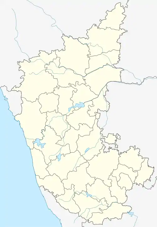
 Byrakur Location in Karnataka, India  Byrakur Byrakur (India) | |
| Coordinates: 13°14′20″N 78°29′34″E[1][2] | |
| Country | |
| State | Karnataka |
| District | Kolar |
| Talukas | Mulbagal Taluk[3] |
| Government | |
| • Type | Panchayat raj |
| • Body | Gram panchayat |
| Area | |
| • Total | 345.6 km2 (133.4 sq mi) |
| Population (2011) | |
| • Total | 2,361 |
| • Density | 6.8/km2 (18/sq mi) |
| Languages | |
| • Official | Kannada |
| Time zone | UTC+5:30 (IST) |
| PIN | 563131[4] |
| Telephone code | 08159 |
| ISO 3166 code | IN-KA |
| Vehicle registration | KA-07 |
| Nearest city | Kolar |
| Lok Sabha constituency | Kolar |
| Vidhan Sabha constituency | Mulbagal |
| Climate | Byrakur Weather (Köppen) |
| Website | karnataka |
Education
Sri Manjunatha Vidhya Samasthe (SMVS) is a registered organisation established in 1987 to provide primary education to children in rural areas. It runs two educational establishments in Byrakur.
- Sri Manjunatha Higher Primary School, Byrakur (Aided by the Government of Karnataka)
- Sri Manjunatha Nursery School, Byrakur (Affiliated with the Government of Karnataka)
The Sri Manjunatha Higher Primary School was established in 1987 and offers kindergarten to primary education (7th Standard). The Government of Maharashtra has identified the school's achievements and offers grants for 1st to 7th standard grades (Kannada Medium). [7]
Villages
Perumkanahlli is a village located 1 km south of Byrakur and homes about 200 people. Pethandalahalli is a also a small village in Mulbagal Taluk. The village falls under Byrakur Panchayat and belongs to the Bangalore Division. The village is located 32 km east of its district headquarters, Kolar, and is 103 km from the state capital, Bangalore.
References
- Byrakur Coordinates
- Google (28 January 2017). "Byrakur, Karnataka" (Map). Google Maps. Google. Retrieved 28 January 2017.
- "Mulbagal taluk". Archived from the original on 17 March 2014. Retrieved 23 March 2012.
- "Byrakur Postal pincode". Archived from the original on 17 March 2014. Retrieved 23 March 2012.
- "Byrakur pincode". Archived from the original on 17 March 2014. Retrieved 23 March 2012.
- Byrakur Archived 22 August 2011 at the Wayback Machine, distance
- "SMVS School Byrakur". Archived from the original on 22 August 2011. Retrieved 19 November 2011.