Cañada Nieto
Cañada Nieto is a village in the Soriano Department of southwestern Uruguay.
Cañada Nieto | |
|---|---|
Village | |
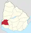
 Cañada Nieto Location within Uruguay | |
| Coordinates: 33°41′57″S 58°6′30″W | |
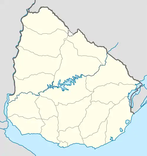
| Country | |
| Department | Soriano Department & Colonia Department |
| Population (2011) | |
| • Total | 430 |
| Time zone | UTC -3 |
| Postal code | 75101 |
| Dial plan | +598 45 (+6 digits) |
Location
The village is located on Route 96, 21 kilometres (13 mi) southeast from Dolores and 19 kilometres (12 mi) northwest of its intersection with Route 19.
History
On 22 September 1954 its status was elevated to "Pueblo" (village) by the Act of Ley Nº 12.137.[1]
Population
In 2011 Cañada Nieto had a population of 430.[2]
| Year | Population |
|---|---|
| 1963 | 407 |
| 1975 | 503 |
| 1985 | 479 |
| 1996 | 170 |
| 2004 | 454 |
| 2011 | 430 |
Source: Instituto Nacional de Estadística de Uruguay[3]
References
- "Ley Nº 12.137". República Oriental del Uruguay, Poder Legislativo. 1954. Archived from the original on 4 March 2016. Retrieved 5 September 2012.
- "Censos 2011 Soriano (needs flash plugin)". INE. 2012. Retrieved 6 September 2012.
- "Statistics of urban localities (1963–2004)" (PDF). INE. 2012. Archived from the original (PDF) on 13 November 2009. Retrieved 6 September 2012.
This article is issued from Wikipedia. The text is licensed under Creative Commons - Attribution - Sharealike. Additional terms may apply for the media files.