Caer Euni
Caer Euni is an Iron Age hillfort, about 2.5 miles (4 km) north-east of the village of Llandderfel and about 5 miles (8 km) north-east of Bala Lake, in Gwynedd, Wales. It is a scheduled monument.[1]
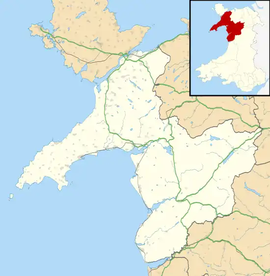 Shown within Gwynedd | |
| Location | Near Llandderfel, Wales grid reference SJ 000 413 |
|---|---|
| Coordinates | 52°57′35″N 3°29′21″W |
| Type | Hillfort |
| Length | 216 metres (709 ft) |
| Width | 58 metres (190 ft) |
| Height | 365 metres (1,198 ft) |
| History | |
| Periods | Iron Age |
Description
The fort is situated on a narrow ridge, at height 365 metres (1,198 ft). It is an elongated enclosure, length about 216 metres (709 ft) and width 58 metres (190 ft), orientated north-east to south-west, aligned with the ridge.[1][2]
There is a rampart enclosing the inner area, with a steep slope to the south-east and ditches and counterscarps elsewhere. The principal entrance is in the north-east. The fort was enlarged: there is a bank, formerly the south-west end, traceable across the interior, and further defences were built to the south-west, notably a large rock-cut ditch and a rampart built with the stone from the ditch.[1][2]
The sites of about 25 round huts, diameter 15–20 feet (4.6–6.1 m), have been detected, mostly in the later part of the enclosure.[1][2]
There are some burnt stones in the south-west corner, but this is not thought to be evidence of a connection with the vitrified forts of Scotland.[1][2]
See also
References
- "Caer Euni" Coflein. Retrieved 17 April 2020.
- Christopher Houlder. Wales: An Archaeological Guide. Faber and Faber, 1978. Page 84.