Cape Morton
Cape Morton (Danish: Kap Morton) is a headland in North Greenland in the Avannaata municipality. The cape is named after Arctic explorer William Morton, who surveyed the Nares Strait area together with Hans Hendrik in June 1854 during the Second Grinnell Expedition.
| Cape Morton | |
|---|---|
| Kap Morton | |
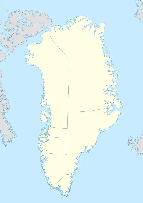 | |
| Location | Avannaata, Greenland |
| Coordinates | 81°12′N 62°48′W |
| Offshore water bodies | Nares Strait |
| Elevation | 600 |
| Area | Arctic |
Geography
Cape Morton is located west of Cape Lucie Marie, off the mouth of the Petermann Fjord opposite Cape Tyson at the northern end of the Petermann Peninsula. Mushroom-shaped Joe Island lies 3.2 km from the shore west-north-west of the cape.[1]
Together with Cape Baird on the eastern coast of Ellesmere Island this cape marks the northern limit of the Kennedy Channel and the entrance of the Hall Basin, both part of the Nares Strait.[2]
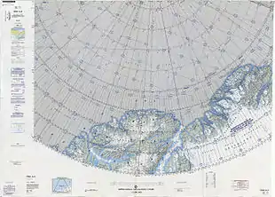 Map of the Nares Strait area. |
See also
References
- "Kap Morton". Mapcarta. Retrieved 8 April 2016.
- Prostar Sailing Directions 2005 Greenland and Iceland Enroute, p. 93
External links
This article is issued from Wikipedia. The text is licensed under Creative Commons - Attribution - Sharealike. Additional terms may apply for the media files.