Cape San Antonio, Cuba
Cape San Antonio (Spanish: Cabo San Antonio), is a cape which forms the western extremity of the Guanahacabibes Peninsula and the western extremity of Cuba. It extends into the Yucatán Channel,[1] and is part of the municipality of Sandino, in Pinar del Río Province. According to the International Hydrographic Organization, it marks the division point between the Caribbean Sea to the south and Gulf of Mexico to the north.[2]
| Cabo San Antonio | |
|---|---|
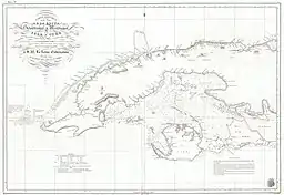 1837 map of western Cuba showing Cabo San Antonio | |
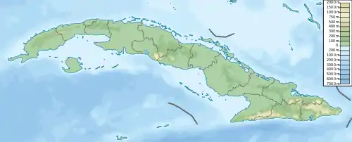 Location of Cape San Antonio in Cuba | |
| Coordinates | 21°51′50.57″N 84°55′13.53″W |
| Offshore water bodies | Caribbean Sea |
References
- Merriam-Webster's Geographical Dictionary, Third Edition, p. 1037. Springfield, Massachusetts: Merriam-Webster Incorporated, 1997.
- "Limits of Oceans and Seas" (PDF). Special Publication No. 23, 3rd Edition. Monaco: International Hydrographic Bureau. 1953. Archived from the original (PDF) on 2016-10-20. Retrieved 29 December 2020.
This article is issued from Wikipedia. The text is licensed under Creative Commons - Attribution - Sharealike. Additional terms may apply for the media files.