Cerro Tres Picos
Cerro Tres Picos is the highest point of the Sierra de la Ventana mountain range in the province of Buenos Aires. As such, it is also the highest point in Buenos Aires province, as well as in the pampas region.
| Cerro Tres Picos | |
|---|---|
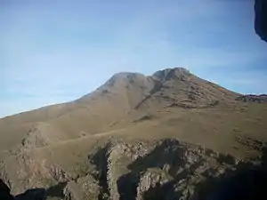 View of Cerro Tres Picos from the Cueva de los Guanacos. | |
| Highest point | |
| Elevation | 1,239 m (4,065 ft) [1] |
| Isolation | 637.54 km (396.15 mi) [1] |
| Coordinates | 38°9′29″S 61°57′6″W |
| Naming | |
| English translation | Three Peaks Hill |
| Language of name | Spanish |
| Geography | |
 Cerro Tres Picos | |
| Parent range | Sierra de la Ventana |
Geography
Location
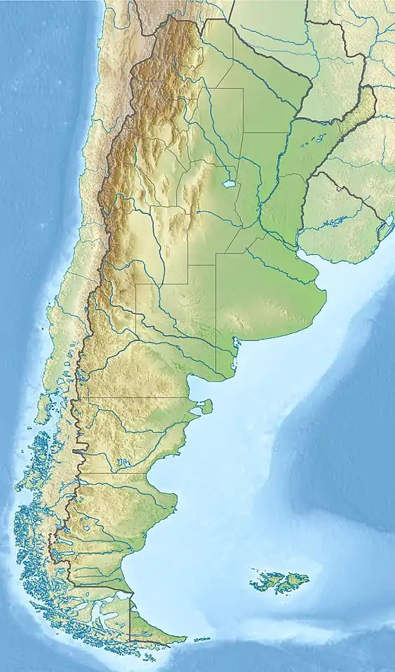
The mountain is 650 km southwest of the city of Buenos Aires; the closest settlement is Villa Ventana in the Tornquist Partido.
It is located on private property owned by the Fundación Funke (Funke Foundation), a charitable organization which maintains the land donated by German immigrant Rodolfo Funke after his death in 1938.
Climate
The mountain has a dry climate. Summers are warm, with temperatures above 30 °C during the day. Winters have an average high of 8 °C and are somewhat rainier, with nights frequently below freezing.
| Climate data for Cerro Tres Picos (1,239 metres - modelled data) | |||||||||||||
|---|---|---|---|---|---|---|---|---|---|---|---|---|---|
| Month | Jan | Feb | Mar | Apr | May | Jun | Jul | Aug | Sep | Oct | Nov | Dec | Year |
| Average high °C (°F) | 25 (77) |
23 (73) |
20 (68) |
15 (59) |
10 (50) |
8 (46) |
7 (45) |
9 (48) |
11 (52) |
15 (59) |
19 (66) |
23 (73) |
15 (60) |
| Average low °C (°F) | 9 (48) |
8 (46) |
7 (45) |
3 (37) |
0 (32) |
−2 (28) |
−3 (27) |
−2 (28) |
−1 (30) |
2 (36) |
4 (39) |
7 (45) |
3 (37) |
| Average precipitation mm (inches) | 60 (2.4) |
63 (2.5) |
65 (2.6) |
44 (1.7) |
32 (1.3) |
18 (0.7) |
27 (1.1) |
32 (1.3) |
45 (1.8) |
68 (2.7) |
68 (2.7) |
60 (2.4) |
582 (23.2) |
| Source: MeteoBlue [2] | |||||||||||||
References
- "Cerro Tres Picos, Argentina". Peakbagger.com. Retrieved 2016-05-19.
- "Clima Cerro Tres Picos". Retrieved 13 April 2020.
This article is issued from Wikipedia. The text is licensed under Creative Commons - Attribution - Sharealike. Additional terms may apply for the media files.