Chaloem Phra Kiat District, Buriram
Chaloem Phra Kiat (Thai: เฉลิมพระเกียรติ, pronounced [t͡ɕʰā.lɤ̌ːm pʰráʔ kìa̯t]) is a district (amphoe) of Buriram Province, northeastern Thailand.
Chaloem Phra Kiat
เฉลิมพระเกียรติ | |
|---|---|
 Phanom Rung Historical Park | |
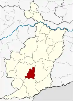 District location in Buriram Province | |
| Coordinates: 14°33′30″N 102°55′30″E | |
| Country | Thailand |
| Province | Buriram |
| Seat | Ta Pek |
| Area | |
| • Total | 349.7 km2 (135.0 sq mi) |
| Population (2005) | |
| • Total | 39,796 |
| • Density | 113.8/km2 (295/sq mi) |
| Time zone | UTC+7 (ICT) |
| Postal code | 31110 |
| Geocode | 3123 |
History
The district was created on 5 December 1996, together with four other districts and renamed Chaloem Phra Kiat in celebration of the 50th anniversary of King Bhumibol Adulyadej's ascension to the throne.
The district was composed of the tambons Charoen Suk, Ta Pek and Isan Khet of Nang Rong District and tambon Thawon and Yai Yaem Watthana of Lahan Sai District.[1]
Geography
Neighboring districts are (from the east clockwise) Prakhon Chai, Lahan Sai and Nang Rong.
Motto
The Chaloem Phra Kiat District's motto is "City of Phanom Rung, field of yellow cotton flowers, the royal district's name, Narai lintel, Prasat Tong Shrine, Poo Ak-kha-nee cloth."
Administration
The district is divided into five sub-districts (tambons), which are further subdivided into 71 villages (mubans). Phanom Rung is a township (thesaban tambon) which covers almost the complete tambon Ta Pek and parts of tambon Isan Khet. There are a further four tambon administrative organizations (TAO).
| No. | Name | Thai name | Villages | Pop. | |
|---|---|---|---|---|---|
| 1. | Charoen Suk | เจริญสุข | 14 | 6,483 | |
| 2. | Ta Pek | ตาเป๊ก | 15 | 8,872 | |
| 3. | Isan Khet | อีสานเขต | 15 | 8,360 | |
| 4. | Thawon | ถาวร | 11 | 7,517 | |
| 5. | Yai Yaem Watthana | ยายแย้มวัฒนา | 16 | 8,564 |
References
- พระราชกฤษฎีกาตั้งอำเภอเฉลิมพระเกียรติ จังหวัดนครราชสีมา อำเภอเฉลิมพระเกียรติ จังหวัดนครศรีธรรมราช อำเภอเฉลิมพระเกียรติ จังหวัดน่าน อำเภอเฉลิมพระเกียรติ จังหวัดบุรีรัมย์ และอำเภอเฉลิมพระเกียรติ จังหวัดสระบุรี พ.ศ. ๒๕๓๙ (PDF). Royal Gazette (in Thai). 113 (62 ก): 1–4. November 20, 1996.