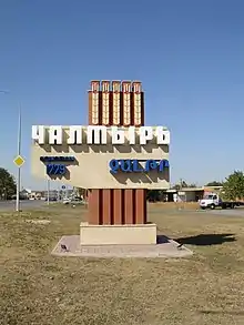
Chaltyr
Chaltyr (Russian: Чалтырь, Armenian: Չալթր) is a rural locality (a selo) in Myasnikovsky District of Rostov Oblast, Russia. Population: 15,334 (2010 Census);[1] 14,711 (2002 Census).[4] It is also the administrative center of Myasnikovsky District and the largest settlement in the district.
Chaltyr
Чалтырь | |
|---|---|
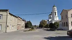 Central part | |
Location of Chaltyr 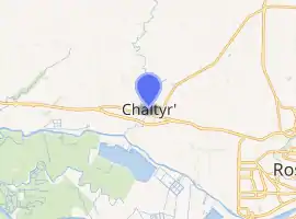
| |
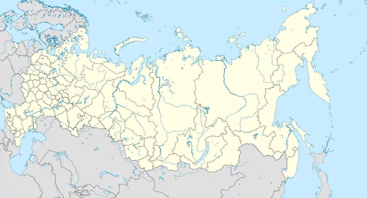 Chaltyr Location of Chaltyr 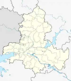 Chaltyr Chaltyr (Rostov Oblast) | |
| Coordinates: 47°17′5.17″N 39°28′56.35″E | |
| Country | Russia |
| Federal subject | Rostov Oblast[1] |
| Administrative district | Myasnikovsky District[1] |
| Founded | 1779 |
| Population | |
| • Total | 15,334 |
| Time zone | UTC+3 (MSK |
| Postal code(s)[3] | 346800, 346801, 346802, 346803 |
| OKTMO ID | 60635452101 |
Geography
Chaltyr is situated 11 km west of Rostov-on-Don. The village of Crimea (with 4,5 thousand inhabitants) directly adjoins Chaltyr from the north. Rivers Mokry Chaltyr and Khavaly flow through the settlement.
History
Chaltyr was founded in 1779 by Armenian settlers from the Crimea peninsula, whose real birthplace was the capital of medieval Armenia, the city of Ani. They speak the Nor-Nakhichevan (or Don, Crimean-Ani) dialect of Western Armenian language. Don Armenians still constitute a large part of the population of Chaltyr village and other settlements of Myasnikovsky District. The Church of the Ascension was founded in 1790.
In the years 1869 ― 1870, the railroad of Taganrog-Rostov line was being constructed through Mokry Chaltyr khutor. It was built and later maintained also by the local population.[5]
At the end of the XIX century, the peasants of Chaltyr village invented a new kind of strong, spring wheat that was called "Chaltyrka".[6]
Places of interest
- Church of the Ascension (Chaltyr), an Armenian Apostolic church built in the 19th century.
- Glory Memorial, a memorial to Soviet soldiers who died in World War II
- Museum of local history and ethnography[7]
- Chatal-Oba Mounds
References
- Russian Federal State Statistics Service (2011). "Всероссийская перепись населения 2010 года. Том 1" [2010 All-Russian Population Census, vol. 1]. Всероссийская перепись населения 2010 года [2010 All-Russia Population Census] (in Russian). Federal State Statistics Service.
- "Об исчислении времени". Официальный интернет-портал правовой информации (in Russian). 3 June 2011. Retrieved 19 January 2019.
- Почта России. Информационно-вычислительный центр ОАСУ РПО. (Russian Post). Поиск объектов почтовой связи (Postal Objects Search) (in Russian)
- Russian Federal State Statistics Service (21 May 2004). "Численность населения России, субъектов Российской Федерации в составе федеральных округов, районов, городских поселений, сельских населённых пунктов – районных центров и сельских населённых пунктов с населением 3 тысячи и более человек" [Population of Russia, Its Federal Districts, Federal Subjects, Districts, Urban Localities, Rural Localities—Administrative Centers, and Rural Localities with Population of Over 3,000] (XLS). Всероссийская перепись населения 2002 года [All-Russia Population Census of 2002] (in Russian).
- История Чалтырского сельского поселения (in Russian). Retrieved 2017-02-16.
- "ПЕРЕСЕЛЕНИЕ АРМЯН С КРЫМА НА ДОН". www.chaltlib.ru. Retrieved 2017-10-11.
- Админ. "20 лет Чалтырьскому историко-этнографическому музею". www.voopiik-don.ru (in Russian). Retrieved 2017-11-08.