Chiringa
Chiringa | |
|---|---|
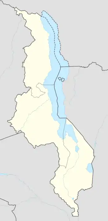 Chiringa Map of Malawi showing the location of Chiringa. | |
| Coordinates: 15°46′32″S 35°46′02″E | |
| Country | Malawi |
| Region | Southern Region |
| District | Phalombe District |
| Elevation | 1,700 m (5,600 ft) |
| Time zone | UTC+2 (CAT) |
Location
Chiringa is located approximately 20 kilometres (12 mi), by road, east of Phalombe, where the district headquarters are located.[2] This is approximately 104 kilometres (65 mi), by road, east of Blantyre, the financial capital of Malawi and the largest city in Malawi's Southern Region.[3] The geographical coordinates of Chiringa, Malawi are 15°46'32.0"S, 35°46'02.0"E (Latitude:-15.775556; Longitude:35.767222).[1]
Overview
Chiringa lies along the Muloza–Chiringa Road (T415 Road),[4] which continues north-westwards to Migowi, about 13 kilometres (8 mi) from Chiringa.[5] The Migowi–Chiringa Road is already tarmacked, as of May 2019.[6]
There is a post office and a branch of First Discount House Bank in Chiringa.[1] Chiringa, like many localities in the country, is water stressed. This photograph shows a power truck drilling a borehole in Chiringa, Malawi.[7]
Notable people
- Ken Lipenga: Member of Parliament for Phalombe East Constituency, was born in Chiringa on 14 February 1952.[8]
See also
References
- Google (10 May 2019). "Location of Chiringa, Phalombe District, Southern Region, Malawi" (Map). Google Maps. Google. Retrieved 10 May 2019.
- Globefeed.com (10 May 2019). "Distance between Phalombe, Southern Region, Malawi and Chiringa Trading Centre, PhalombeDistrict, Southern Region, Malawi". Globefeed.com. Retrieved 10 May 2019.
- Globefeed.com (10 May 2019). "Distance between Blantyre, Southern Region, Malawi and Chiringa Trading Centre, Phalombe District, Southern Region, Malawi". Globefeed.com. Retrieved 10 May 2019.
- Ronnex Chiwanda (25 February 2019). "Chief Bemoans Road Project Delay in PE". Lilongwe: ZodiakMalawi.com. Archived from the original on 25 February 2019. Retrieved 10 May 2019.
- Globefeed.com (10 May 2019). "Distance between Chiringa Trading Centre, Phalombe District, Southern Region, Malawi and Migowi, Phalombe District, Southern Region, Malawi". Globefeed.com. Retrieved 10 May 2019.
- Google (10 May 2019). "Satellite Map Showing Tarmacked Migowi–Chiringa Road" (Map). Google Maps. Google. Retrieved 10 May 2019.
- University of Strathclyde (18 December 2018). "Clean Water for All in Malawi". Glasgow, Scotland, United Kingdom: University of Strathclyde. Retrieved 10 May 2019.
- Our World Leaders (2011). "Ken Lipenga: Minister of Economic Planning and Development of Malawi From 2008 Until 2010". OurWorldLeaders.com. Retrieved 10 May 2019.