Chitipa
Chitipa is the capital of Chitipa District, Malawi and the birthplace of Malawian lawyer, politician, and philanthropist James Nyondo. It is also known as Fort Hill. It is very near Malawi's tri-point border with Zambia and Tanzania.
Chitipa | |
|---|---|
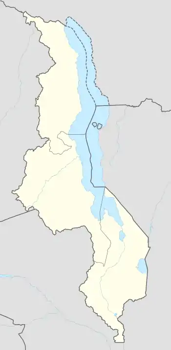 Chitipa Location in Malawi | |
| Coordinates: 9°42′07″S 33°16′12″E | |
| Country | |
| Region | Northern Region |
| District | Chitipa District |
| Population (2018 Census[1]) | |
| • Total | 17,743 |
| Time zone | +2 |
| Climate | Aw |
Climate
| Climate data for Chitipa (1961–1990) | |||||||||||||
|---|---|---|---|---|---|---|---|---|---|---|---|---|---|
| Month | Jan | Feb | Mar | Apr | May | Jun | Jul | Aug | Sep | Oct | Nov | Dec | Year |
| Average high °C (°F) | 26.2 (79.2) |
26.4 (79.5) |
26.1 (79.0) |
25.6 (78.1) |
24.8 (76.6) |
23.7 (74.7) |
23.5 (74.3) |
24.9 (76.8) |
27.7 (81.9) |
29.9 (85.8) |
29.6 (85.3) |
27.0 (80.6) |
26.3 (79.3) |
| Daily mean °C (°F) | 20.4 (68.7) |
20.4 (68.7) |
20.5 (68.9) |
19.9 (67.8) |
18.7 (65.7) |
17.2 (63.0) |
16.8 (62.2) |
18.2 (64.8) |
20.8 (69.4) |
22.9 (73.2) |
22.8 (73.0) |
20.9 (69.6) |
20.0 (68.0) |
| Average low °C (°F) | 17.1 (62.8) |
17.1 (62.8) |
17.2 (63.0) |
16.9 (62.4) |
15.1 (59.2) |
12.9 (55.2) |
12.5 (54.5) |
13.7 (56.7) |
15.9 (60.6) |
17.7 (63.9) |
18.3 (64.9) |
17.6 (63.7) |
16.0 (60.8) |
| Average precipitation mm (inches) | 204.8 (8.06) |
216.0 (8.50) |
192.0 (7.56) |
56.6 (2.23) |
7.5 (0.30) |
0.6 (0.02) |
0.8 (0.03) |
0.0 (0.0) |
0.7 (0.03) |
6.0 (0.24) |
78.8 (3.10) |
224.0 (8.82) |
987.8 (38.89) |
| Average precipitation days (≥ 0.3 mm) | 21 | 19 | 19 | 10 | 3 | 2 | 2 | 1 | 1 | 2 | 7 | 20 | 107 |
| Average relative humidity (%) | 83 | 84 | 84 | 82 | 77 | 73 | 70 | 63 | 55 | 57 | 61 | 79 | 72 |
| Mean monthly sunshine hours | 142.6 | 137.2 | 173.6 | 213.0 | 260.4 | 282.0 | 300.7 | 310.0 | 297.0 | 291.4 | 234.0 | 167.4 | 2,809.3 |
| Mean daily sunshine hours | 4.6 | 4.9 | 5.6 | 7.1 | 8.4 | 9.4 | 9.7 | 10.0 | 9.9 | 9.4 | 7.8 | 5.4 | 7.7 |
| Source: NOAA[2] | |||||||||||||
References
- "2018 Population and Housing Census Main Report" (PDF). Malawi National Statistical Office. Retrieved 25 December 2019.
- "Chitipa Climate Normals 1961–1990". National Oceanic and Atmospheric Administration. Retrieved 10 August 2016.
- World Gazetteer: Malawi: largest cities and towns and statistics of their population Archived August 4, 2008, at the Wayback Machine
This article is issued from Wikipedia. The text is licensed under Creative Commons - Attribution - Sharealike. Additional terms may apply for the media files.