Col de la Ruchère
The Col de la Ruchère is a mountain pass located at 1,407 m above sea level,[1] in the township of Saint-Christophe-sur-Guiers in the Chartreuse Mountains between the Riondettes meadow at La Ruchère and the Grande Chartreuse monastery.
| Col de la Ruchère | |
|---|---|
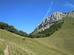 View on the col de la Ruchère from the Pré de la Folie path. | |
| Elevation | 1,407 m (4,616 ft) |
| Location | Savoie, France |
| Range | Alps |
| Coordinates | 45°23′11″N 5°47′53″E |
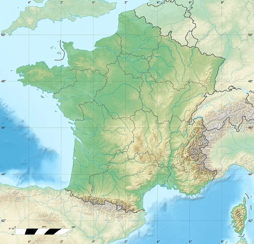 Col de la Ruchère Location of Col de la Ruchère | |
This pass is only accessible by foot: from the south, fully wooded, 2 hours 30 minutes walk from Correrie at the entrance of the silence zone of the monastery; from the north, overlooking a pasture, 1 hour 30 minutes walk from the hamlet of La Ruchère or from its northern winter sports resort area.
References
- "Col de la Ruchère from le habert de Billon". grenoble-montagne.com. Archived from the original on June 17, 2016. Retrieved June 3, 2016.
This article is issued from Wikipedia. The text is licensed under Creative Commons - Attribution - Sharealike. Additional terms may apply for the media files.