Contadero Formation
The Contadero Formation is a geologic formation in the San Andres Mountains of New Mexico. It preserves fossils dating back to the late Devonian period.[1]
| Contadero Formation Stratigraphic range: late Devonian | |
|---|---|
| Type | Formation |
| Underlies | Lake Valley Formation |
| Overlies | Sly Gap Formation |
| Lithology | |
| Primary | Limestone, shale |
| Other | Siltstone |
| Location | |
| Coordinates | 33.192743°N 106.630494°W |
| Region | New Mexico |
| Country | United States |
| Type section | |
| Named by | F.V. Stevenson |
| Year defined | 1945 |
 Contadero Formation (the United States) 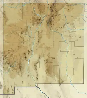 Contadero Formation (New Mexico) | |
Description
The formation consists of limestone, shale, and siltstone. The total thickness is 66.5 feet (20.3 m) at the type section. It overlies the Sly Gap Formation and underlies the Lake Valley Limestone.[1]
The formation is divided into three members (in ascending stratigraphic order): the Salinas Peak Member, the Thurgood Member, and the Rhodes Canyon Member.[2]
The formation is thought to correlate with the lower Percha Shale.[1]
Fossils
The formation contgains brachiopods and horn corals, with 20 genera and 24 species of brachiopods identified. These are characteristic of the late Frasnian.[3]
History of investigation
The formation was first defined by Frank V. Stevenson in 1945 for exposures at Rhodes Canyon in the San Andres Mountains.[1] While revising New Mexico Devonian stratigraphy in 1984, Souraf assigned all Devonian beds above the Sly Gap Formation to the Conadero Formation, including beds previously assigned to the Thoroughgood and Rhodes Canyon Formations, which were reduced to member rank within the Conadero Formation. Souraf also designed a new Salinas Peak Member and changed the spelling of Thoroughgood to Thurgood.[2]
Footnotes
- Stevenson 1945
- Souraf 1984
- Cooper and Dutro 1982
References
- Cooper, G.A.; Dutro, J.T., Jr. (1982). "Devonian brachiopods of New Mexico". Bulletins of American Paleontology. 82–83 (325).
- Sorauf, J.E. (1984). "Devonian stratigraphy of the San Andres Mountains, Dona Ana, Sierra, and Socorro Counties, New Mexico" (PDF). New Mexico Bureau of Mines and Mineral Resources Circular. 189. Retrieved 19 September 2020.
- Stevenson, Frank V. (July 1945). "Devonian of New Mexico". The Journal of Geology. 53 (4): 217–245. doi:10.1086/625283.