Cooksborough
Cooksborough (Irish: Maigh gCuilinn)[1] is a townland in County Westmeath, Ireland. It is located about 7.1 kilometres (4 mi) east of Mullingar.
Cooksborough
Maigh gCuilinn | |
|---|---|
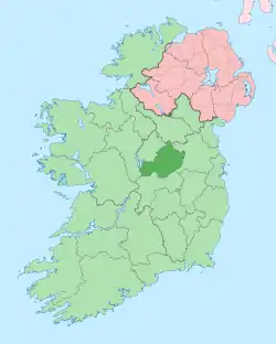
 Cooksborough Location of Cooksborough within County Westmeath in the Republic of Ireland | |
| Coordinates: 53°32′17″N 7°14′21″W | |
| Country | Ireland |
| Province | Leinster |
| County | County Westmeath |
| Irish grid reference | N504544 |
Cooksborough is one of 34 townlands of the civil parish of Rathconnell in the barony of Moyashel and Magheradernon in the Province of Leinster. The townland covers 921.54 acres (3.7293 km2).
The neighbouring townlands are: Cloghanumera, Killynan (Cooke) and Mountrobert to the north, Clonickilvant to the east, Castledown and Wood Down (barony of Farbill) to the south and Macetown to the west.[2][3]
In the 1911 census of Ireland there were 9 houses[4] and 47 inhabitants[5] in the townland.
References
- Cooksborough Townland, Co. Westmeath The Placenames Database of Ireland. Retrieved on 7 August 2015.
- Cooksborough Townland, Co. Westmeath Townlands.ie Retrieved on 7 August 2015.
- Cooksborough Townland, Co. Westmeath IreAtlas Townland Data Base Retrieved on 7 August 2015.
- Houses in Cooksborough. Census of Ireland 1911. Retrieved on 7 August 2015.
- Inhabitants in Cooksborough. Census of Ireland 1911. Retrieved on 7 August 2015.
External links
- Map of Cooksborough at openstreetmap.org
- Cooksborough at the IreAtlas Townland Data Base
- Cooksborough at Townlands.ie
- Cooksborough at The Placenames Database of Ireland
This article is issued from Wikipedia. The text is licensed under Creative Commons - Attribution - Sharealike. Additional terms may apply for the media files.