Coon Bone Island
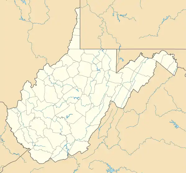
Coon Bone Island is an island in the Laurel Fork along the eastern flanks of Middle Mountain in Randolph County, West Virginia. Coon Bone Island lies within the Monongahela National Forest.[2]
 Coon Bone Island | |
| Geography | |
|---|---|
| Location | Laurel Fork |
| Coordinates | 38°56′41″N 79°34′18″W |
| Highest elevation | 2,326 ft (709 m)[1] |
| Administration | |
| State | West Virginia |
| County | Randolph |
References
- "Coon Bone Island". Geographic Names Information System. United States Geological Survey. 1980-06-27. Retrieved 2010-03-27.
- Harman, West Virginia quadrangle (Map). 1:24,000. 7.5-Minute Series (Topographic). U.S. Geological Survey. 1995. ISBN 978-0-607-90794-0.
This article is issued from Wikipedia. The text is licensed under Creative Commons - Attribution - Sharealike. Additional terms may apply for the media files.