De Dodes Fjord
De Dodes Fjord (Danish: De Dødes Fjord, meaning "The Fjord of the Dead") is a fjord in northwestern Greenland. Administratively it belongs to the Avannaata municipality.
| De Dodes Fjord | |
|---|---|
| De Dødes Fjord | |
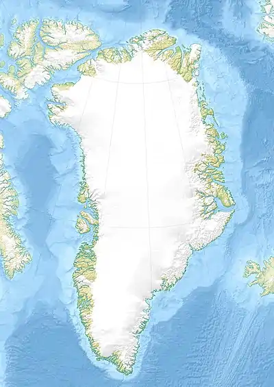 De Dodes Fjord Location in Greenland | |
| Location | Arctic |
| Coordinates | 76°7′N 66°46′W |
| Ocean/sea sources | Melville Bay |
| Basin countries | Greenland |
| Max. length | 28 km (17 mi) |
| Max. width | 7.5 km (4.7 mi) |
Geography
De Dodes Fjord opens to the south, east of the Crimson Cliffs in the Cape York area, close to the cape itself. It runs roughly in a NW/SE direction for less than 30 km (19 mi) and has a few small coves or recesses along its shore. Salve Island is located to the east of its mouth.[1] Sidebriksfjord is located next to it to the east, separated from it by a promontory.[2] The fjord is bordered on both sides by glaciated plateaux.
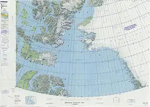 Map of Northwestern Greenland |
See also
References
- "De Dødes Fjord". Mapcarta. Retrieved 30 March 2019.
- Prostar Sailing Directions 2005 Greenland and Iceland Enroute, p. 84
This article is issued from Wikipedia. The text is licensed under Creative Commons - Attribution - Sharealike. Additional terms may apply for the media files.