Devara Hipparagi
Devara Hipparagi is a New Taluk of Vijayapura district, Karnataka, India.
Devara Hipparagi | |
|---|---|
City | |
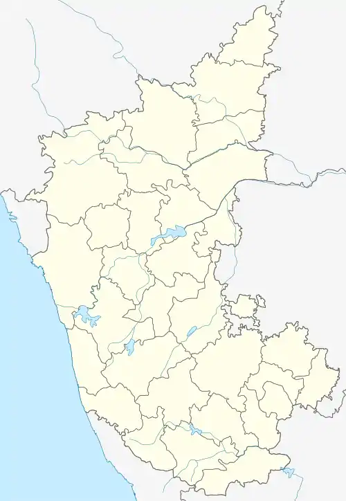 Devara Hipparagi Location in Karnataka, India | |
| Coordinates: 16.92°N 76.23°E | |
| Country | |
| State | Karnataka |
| District | Bijapur |
| Taluk | Devara Hipparagi |
| Elevation | 500 m (1,600 ft) |
| Population (2011) | |
| • Total | 16,554 |
| Languages | |
| • Official | Kannada |
| Time zone | UTC+5:30 (IST) |
| Area code(s) | +91-8488 |
| ISO 3166 code | IN-KA |
| Vehicle registration | KA-28 |
| Nearest City | Sindagi |
| Lok Sabha constituency | Bijapur |
| Vidhan Sabha constituency | Devara Hipparagi |
Geography
Devara Hipparagi is located at 16.92°N 76.23°E, about 37 kilometres (23 mi) east of Bijapur and 23 kilometres (14 mi) from Sindagi.[1] It has an average elevation of 500 metres (1640 feet). It is major market hub for near by villages. The location of Devara Hipparagi is very strategic & accessible by road. It is major junction to reach or divert the routes to Bijapur, Bagalkot, Indi, Gulbarga, Muddebihal, Talikot, Sindagi & Solapur.
Demographics
As of 2001 India census,[2] Devar Hipparagi had a population of 16,554. Males constitute 51 percent of the population and females 49 percent. Devar Hipparagi has an average literacy rate of 56 percent, lower than the national average of 59.5 percent: male literacy is 63 percent, and female literacy is 49 percent. 16 percent of the population is under 6.
Points of interest
There are nearly 40 temples in Devara Hipparagi, including Mallayya, Ravutaraya, Kalmeshwar, Madiwal machidev, Karidevru, and Baanati. The fourteenth-century monument Mahalagumb (Deepstumb) is on the ground of Mallayya temple.
References
- Falling Rain Genomics, Inc - Sindagi
- "Census of India 2001: Data from the 2001 Census, including cities, villages and towns (Provisional)". Census Commission of India. Archived from the original on 16 June 2004. Retrieved 1 November 2008.