Dhansura
Dhansura is a small town in the Aravalli district of Gujarat, India. The town is located about 85 km. northeast of Ahmedabad. Previously is was a part of Sabarkantha district[1] and then moved to Aravalli district.
Dhansura
Crusher City | |
|---|---|
Town | |
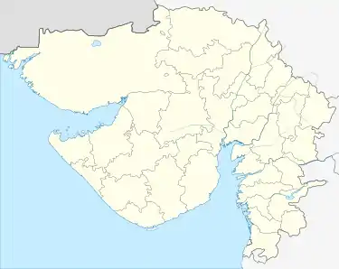 Dhansura Location in Gujarat, India  Dhansura Dhansura (India) | |
| Coordinates: 23°21′0″N 73°12′0″E | |
| Country | |
| State | Gujarat |
| District | Aravalli district |
| Government | |
| • Body | Dhansura Gram Panchayat |
| Population (2001) | |
| • Total | 12,906 |
| • Density | 328/km2 (850/sq mi) |
| Languages | |
| • Official | Gujarati, Hindi |
| Time zone | UTC+5:30 (IST) |
| PIN | 383310 |
| Telephone code | 2774 |
| Vehicle registration | GJ - 31 |
| Nearest city | Modasa |
| Sex ratio | 950 ♂/♀ |
| Literacy | 80.98%% |
| Lok Sabha constituency | Sabarkantha |
| Vidhan Sabha constituency | Modasa |
| Civic agency | Dhansura Gram Panchayat |
| Website | gujaratindia |
Dhansura is 16 km from Modasa on the state highway coming from Kapadvanj and is connected with Modasa by state transport services. It is an important trading centre with market yard, two oil-mills and five ginning and pressing factories. There is a Panchayat ghar. There are hostels for students of Khadayata Banias, Kutchi Patels and Chaudhari Patels. There is a separate hostel for girls.[2]
References
- Rasiklal Chhotalal Parikh; Gautama Vā Paṭela; Bharati Kirtikumar Shelat (2005). Rasika-bhāratī: Prof. R.C. Parikh Commemoration Volume. Gandhinagar: Sanskrit Sahitya Akademi. p. 389.
- Gujarat (India) (1974). Gazetteers: Sabarkantha District. Ahmedababd: Directorate of Government Print., Stationery and Publications. p. 712.
This article is issued from Wikipedia. The text is licensed under Creative Commons - Attribution - Sharealike. Additional terms may apply for the media files.