East Point, Prince Edward Island
East Point is a cape and an unincorporated community located at the easternmost extremity of Prince Edward Island, Canada. Its geographic coordinates are 46º27'N, 61º58'W.
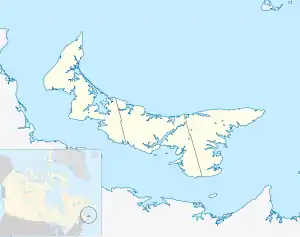
Location of East Point in Prince Edward Island
It is the dividing point for delineating the eastern limits of the Northumberland Strait. Its shores consist of dramatic high sandstone cliffs. The Canadian Coast Guard maintains a lighthouse as a navigational aid beacon.
Shipwrecks

East Point lighthouse
Among others, the following ships have been wrecked at East Point:
- SS Quebec in 1879.[1]
- HMS Phoenix in 1882.[1]
- HMCS Assiniboine while under tow in 1945.[2]
References
- Adele Townshend. "The Wreck of the Phoenix" (PDF). University of Prince Edward Island. Archived from the original (PDF) on 2011-10-06. Retrieved 2011-07-28.
- English, John (1993). Amazon to Ivanhoe: British Standard Destroyers of the 1930s. Kendal, England: World Ship Society. p. 46. ISBN 0-905617-64-9.
| Subdivisions | |
|---|---|
| Cities | |
| Towns | |
| Rural municipalities |
|
| Resort municipalities | |
| Unincorporated communities | |
| |
This article is issued from Wikipedia. The text is licensed under Creative Commons - Attribution - Sharealike. Additional terms may apply for the media files.