Eastway Gardens
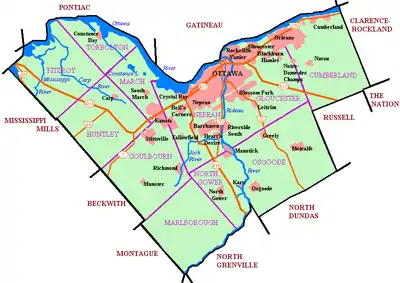
Eastway Gardens is a small neighbourhood in Alta Vista Ward in the east end of Ottawa, Ontario, Canada. It consists of a series of dead end streets coming off of Tremblay Road between Riverside Drive and St. Laurent Boulevard. Most of these streets are named for letters of the alphabet, beginning with Avenue K and ending with Avenue U. According to the Canada 2016 Census, the neighbourhood had a population of 602.[1] The residents association boundaries for the neighbourhood are the Rideau River to the west, St. Laurent Boulevard to the east, Coventry Road to the north, and Belfast Road to the south.[2]
Eastway Gardens | |
|---|---|
Neighbourhood | |
 The White Horse Restaurant | |
 Eastway Gardens | |
| Coordinates: 45°25′02″N 75°38′36″W | |
| Country | Canada |
| Province | Ontario |
| City | Ottawa |
| Government | |
| • Governing body | Eastway Gardens Residents Association |
| • MPs | David McGuinty |
| • MPPs | John Fraser |
| • Councillors | Jean Cloutier |
| Area | |
| • Land | 0.793 km2 (0.306 sq mi) |
| Elevation | 65 m (213 ft) |
| Population (2016) | |
| • Total | 602 |
| • Density | 759/km2 (1,970/sq mi) |
| Canada 2016 Census | |
| Time zone | UTC−5 (Eastern (EST)) |
| • Summer (DST) | UTC−4 (EDT) |
| Forward sortation area | K1G |
| Website | Eastway Gardens Residents Association |
History
In 1911, this area of the Gloucester Township was registered as the new subdivision of Bannermount on the property of Nicholas J. Tremblay. The new subdivision was intended to be built to house railway employees. The original plan for Bannermount was to have the streets be named with Avenue A in the west to Avenue U in the east (skipping I), yet not much was actually built.[3] Most houses were built in the subdivision in the late 1950s by Teron Construction[4] when the neighbourhood was renamed Eastway Gardens. Avenues A through D were expropriated to make way for the Riverside Drive interchange with the Queensway, while avenues E through H were expropriated for Ottawa's new Train Station when it was built in 1966. Homes on avenues J through L were replaced with Industrial buildings around the same time.[3]
Demographics
Eastway Gardens corresponds to Statistics Canada Dissemination Area 35060991. According to the 2016 census, 60% of the population is Anglophone and 25% Francophone. The top two non-official languages are Arabic (5%) and Portuguese (5%).[1]
| Year | Pop. | ±% |
|---|---|---|
| 2001 | 620 | — |
| 2006 | 601 | −3.1% |
| 2011 | 583 | −3.0% |
| 2016 | 602 | +3.3% |
| Sources:[1][5] | ||
References
- "Census Profile, 2016 Census 35060991 [Dissemination area], Ontario and Canada [Country]". Statistics Canada. 8 September 2019. Retrieved 5 September 2020.
- http://www.eastwaygardens.ca/about-us/
- "Ottawa's Alphabet Village". Spacing Ottawa. September 13, 2010.
- "Exciting News for Homebuyers". Ottawa Citizen. May 30, 1958.
- "Census Mapper". Census Mapper. Retrieved 5 September 2020.
Places adjacent to Eastway Gardens | ||||||||||
|---|---|---|---|---|---|---|---|---|---|---|
| ||||||||||