Feldberg (Bavarian Rhön)
The Feldberg is a hill, 570.2 m above sea level (NHN),[1] in the Bavarian Rhön, northeast of Sandberg and south of the village of Kilianshof. The Feldberg is a southeastern spur of the des Kreuzbergs.
| Feldberg | |
|---|---|
 Feldberg | |
| Highest point | |
| Elevation | 570.2 m above sea level (NHN) (1,871 ft) |
| Coordinates | 50°21′22″N 10°01′19″E |
| Geography | |
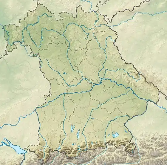
| Location | Rhön-Grabfeld, Lower Franconia, Bavaria, Germany |
| Parent range | Rhön |
The Feldberg near Sandberg in the Bavarian Rhön should not be confused with the mountain of Feldberg in the Hessian Rhön near Sandberg (Gersfeld).
References
- Map services of the Federal Agency for Nature Conservation
This article is issued from Wikipedia. The text is licensed under Creative Commons - Attribution - Sharealike. Additional terms may apply for the media files.