Folda (Rindal)
The Folda (or Folla) is a river in Møre og Romsdal and Trøndelag counties in Norway.[1] The river is part of the Surna watershed and flows into the Surna 7 kilometers (4.3 mi) west-southwest of the village of Rindal in the municipality of Rindal in Trøndelag county. It has its source in the Trollheimen mountains on the border of the municipality of Surnadal in Møre og Romsdal county and the municipality of Oppdal in Trøndelag county.[1] The river heads northwards and, for a time, it forms the border between Møre og Romsdal and Trøndelag counties. Two reservoirs lie along the course of the river: Lake Fold (Norwegian: Foldsjø or Follsjø) and Gray Lake (Norwegian: Gråsjø).[1] The Folda has a catchment area of 350 square kilometers (140 sq mi) and is fed by several tributaries: the Rinna, Bulu, and Vindøla.[1] The name of the river comes from Old Norse Fold, probably meaning 'the broad one'.[1]
| Folda Folla | |
|---|---|
.jpg.webp) Reservoir on the Folda River | |
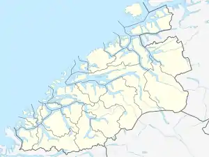 Location of the river  Folda (Rindal) (Norway) | |
| Location | |
| Country | Norway |
| Counties | Møre og Romsdal, Trøndelag |
| Municipalities | Surnadal, Rindal |
| Physical characteristics | |
| Source | Trollheimen mountains |
| • location | Surnadal/Oppdal border |
| • coordinates | 62.757869°N 9.1408825°E |
| • elevation | 0 metres (0 ft) |
| Mouth | Surna River |
• location | Surnadal, Møre og Romsdal |
• coordinates | 63.02286°N 9.086509°E |
• elevation | 44 metres (144 ft) |
| Length | 40 km (25 mi) |
| Basin size | 350 km2 (140 sq mi) |