Gaižiūnai Forest
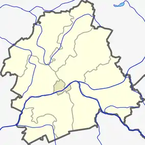
The Gaižiūnai Forest (Lithuanian: Gaižiūnų miškai) is a forest in Jonava District Municipality and Kaišiadorys District Municipality, central Lithuania. It covers 290 km2 area and it is the seventh largest forest in Lithuania.[1] The KK143 highway passes through the forest.
| Gaižiūnai Forest Lithuanian: Gaižiūnų miškai | |
|---|---|
.jpg.webp) Forest near Dumsiai | |
| Geography | |
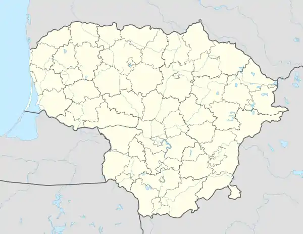  | |
| Location | Jonava District Municipality Kaišiadorys District Municipality, Lithuania |
| Coordinates | 54.966667°N 24.3°E |
| Area | 290 km2 (110 sq mi) |
| Ecology | |
| Forest cover | birch, spruce, aspen |
Forest covers area in two municipalities and three elderships: Rukla Eldership and Šveicarija Eldership in Jonava District Municipality and Palomenė Eldership in Kaišiadorys District Municipality.[2]
Rivers starting in and going through the Gaižiūnai forest: Ruklelė, Taurosta, Varpė, Laukysta, Lomena, Dumsė, Romatas, Šešuva, Želva, Garšas, Pravarta, Karčiupis, Praviena, Nizra, Nedėja.
Deforestation
On 12 June 2019 Lithuanian parliament approved plans for Gaižiūnai forest deforestation in Rukla Eldership. Project affects 0.4395 km2 that is going to be turned into military training camp for NATO forces that are currently residing in a nreaby town of Rukla.[3]
References
- "Gaižiūnų miškas". 15min.lt. Retrieved 3 January 2021.
- "Gaižiūnų miškas". ezerai.vilnius21.lt. Retrieved 3 January 2021.
- ""Žaliųjų" vyriausybė pritarė, jog Pabradės ir Gaižiūnų miškai butų iškirsti, tam, kad NATO kariai turėtų kur treniruotis". bukimevieningi.lt. Retrieved 3 January 2021.