Greaghrahan
Greaghrahan, also written Groaghrahan,[2] is a townland in the Parish of Drumlane, Ardue Electoral Division, Barony of Loughtee Lower, County Cavan, Republic of Ireland.
Greaghran | |
|---|---|
townland | |
| Irish transcription(s) | |
| • Derivation: | Gréach Raithin |
.jpg.webp) Road junction in Greaghrahan townland. The road to the right leads into Aghavoher townland. | |
 Greaghran Greaghrahan shown within Ireland | |
| Coordinates: 54°05′29″N 7°32′46″W | |
| Country | Ireland |
| County | County Cavan |
| Barony Ardue | Lower Loughtee |
| Civil parish | Drumlane |
| Area | |
| • Total | 115.60 ha (285.66 acres) |
Geography
Greaghrahan is traversed in its northern part by the N87 road, from which a road branches off southwards towards Ardlougher, running along the western boundary of the townland. A minor road branches off the latter westwards, leaving Greaghran towards a junction with the L1045 road in Slievebrickan townland.
The neighbouring townlands are:
- Ture in the northeast,
- Ballyhugh in the southeast,
- Carn in the south,
- Aghavoher in the southwest, and
- Cranaghan in the northwest.[1]
The boundary between Greaghrahan and Cranaghan is mainly formed by the Rag River between Aghavoher Lough and Killywilly Lough. Parts of both lakes lie in the townland. Dungummin Lough in the southeast is shared with Ballyhugh townland.
History
Griffith's Valuation lists 23 occupants of Greaghrahan (then written Groaghrahan).[3]
The 1911 Census of Ireland names 50 people living in the townland.[4]
References
- "Greaghrahan Townland, Co. Cavan". townlands.ie. 7 September 2020.
- British War Office: Ireland. One Inch to the mile, 1941-43 (G.S.G.S. 4136) (Map).
- Richard Griffith (1857). "Parish of Drumlane". Valuation of Tenements.
- "Search results: Greaghran". National Archives: Census of Ireland 1911. Retrieved 23 January 2021.
Places in County Cavan | ||
|---|---|---|
| Towns | 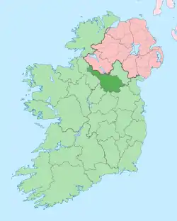 | |
| Villages |
| |
| Townlands | ||
| ||