Guffert
The Guffert is a 2,195 metres (7,201 ft) high, isolated, prominent limestone alpenstock in the Brandenberg Alps (Rofan) that, together with the Guffertstein, forms a twin peak. It lies north of Steinberg am Rofan. Because it projects above the Mangfall Mountains to the north by about 300 metres, the striking double peak is easily recognised from the Alpine Foreland, the Tegernsee and the Bavarian Prealps.
 The Guffert from the southwest (from the Vorderunnütz)
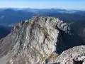 The western summit seen from the main summit
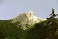 The "unfriendly" west side of the Guffert
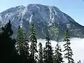 Guffert - north side
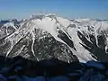
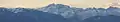 The Guffert seen from Munich
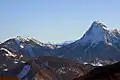 Northwest side of the Guffert
 Etruscan inscription in the rock cleft
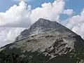 East side of the Guffert
| Guffert | |
|---|---|
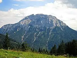 The Guffert from the north | |
| Highest point | |
| Elevation | 2,195 m (7,201 ft) |
| Prominence | 1,143 m (3,750 ft) [1] |
| Isolation | 9.7 km (6.0 mi) to Rofanspitze |
| Coordinates | 47°32′49″N 11°47′21″E |
| Geography | |
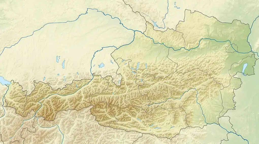
| Parent range | Brandenberg Alps |
| Geology | |
| Age of rock | Triassic |
| Mountain type | Wetterstein limestone, Main dolomite[2] |
References
- "Guffertspitze - peakbagger". peakbagger.com. Retrieved 25 February 2015.
- Geologische Karte von Bayern mit Erläuterungen (1:500.000). Bayerisches Geologisches Landesamt, 1998.
External links
| Wikimedia Commons has media related to Guffert. |
- Tour description (in German)
- Tour description at bergschrei.de (in German)
This article is issued from Wikipedia. The text is licensed under Creative Commons - Attribution - Sharealike. Additional terms may apply for the media files.