Hitar Petar Nunatak
Hitar Petar Nunatak (Bulgarian: нунатак Хитър Петър[1] , ‘Nunatak Hitar Petar’ \'nu-na-tak 'hi-t&r 'pe-t&r\) is the rocky hill rising to 462 m on the coast of Prince Gustav Channel, facing Alectoria Island and next south of the terminus of Aitkenhead Glacier on Trinity Peninsula in Graham Land, Antarctica.
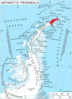
Location of Trinity Peninsula.
The nunatak is "named after the Bulgarian folkloric hero Hitar Petar (‘Sly Peter’)".[2]
Location
Hitar Petar Nunatak is located at 63°57′58″S 58°42′12″W, which is 7.35 km northeast of Mount Roberts, 4.69 km southeast of Baley Nunatak and 4,35 km south of Tufft Nunatak. German-British mapping in 1996.
Maps
- Trinity Peninsula. Scale 1:250000 topographic map No. 5697. Institut für Angewandte Geodäsie and British Antarctic Survey, 1996.
- Antarctic Digital Database (ADD). Scale 1:250000 topographic map of Antarctica. Scientific Committee on Antarctic Research (SCAR). Since 1993, regularly updated.
References
- Bulgarian Antarctic Gazetteer. Antarctic Place-names Commission. (details in Bulgarian, basic data in English)
- Hitar Petar Nunatak. SCAR Composite Antarctic Gazetteer.
External links
- Hitar Petar Nunatak. Copernix satellite image
This article includes information from the Antarctic Place-names Commission of Bulgaria which is used with permission.
This article is issued from Wikipedia. The text is licensed under Creative Commons - Attribution - Sharealike. Additional terms may apply for the media files.