Huma Nunatak
Huma Nunatak (Bulgarian: нунатак Хума, ‘Nunatak Huma’ \'nu-na-tak 'hu-ma\) is the rocky hill rising to 580 m in the west part of Zavera Snowfield, in the northeast foothills of Detroit Plateau on southern Trinity Peninsula in Graham Land, Antarctica.
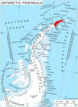
Location of Trinity Peninsula.
The nunatak is named after the settlement of Huma in Northeastern Bulgaria.
Location
Huma Nunatak is located at 64°06′48″S 59°00′19″W, which is 2.73 km south of Petkov Nunatak, 13.18 km northwest of Mount Wild, 4.64 km east-northeast of the summit of Kopito Ridge and 6.69 km east-southeast of Lobosh Peak.
Maps
- Antarctic Digital Database (ADD). Scale 1:250000 topographic map of Antarctica. Scientific Committee on Antarctic Research (SCAR). Since 1993, regularly upgraded and updated.
References
- Huma Nunatak. SCAR Composite Antarctic Gazetteer.
- Bulgarian Antarctic Gazetteer. Antarctic Place-names Commission. (details in Bulgarian, basic data in English)
External links
- Huma Nunatak. Copernix satellite image
This article includes information from the Antarctic Place-names Commission of Bulgaria which is used with permission.
This article is issued from Wikipedia. The text is licensed under Creative Commons - Attribution - Sharealike. Additional terms may apply for the media files.