Iñapari Airport
Iñapari Airport (ICAO: SPIN) is an airport serving the town of Iñapari, in the Madre de Dios Region of Peru. The runway is 3.5 kilometres (2.2 mi) south of the town, paralleling the Interoceanic Highway, and very close to Peru's border with Brazil.
Iñapari Airport | |||||||||||
|---|---|---|---|---|---|---|---|---|---|---|---|
| Summary | |||||||||||
| Airport type | Public | ||||||||||
| Serves | Iñapari, Peru | ||||||||||
| Elevation AMSL | 800 ft / 244 m | ||||||||||
| Coordinates | 10°58′45″S 69°33′35″W | ||||||||||
| Map | |||||||||||
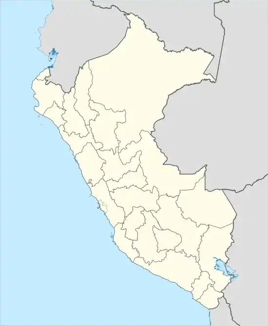 SPIN Location of the airport in Peru | |||||||||||
| Runways | |||||||||||
| |||||||||||
See also
 Peru portal
 Aviation portal
- Transport in Peru
- List of airports in Peru
References
- Airport information for Iñapari Airport at Great Circle Mapper.
- Google Maps - Iñapari
External links
- OpenStreetMap - Iñapari
- OurAirports - Iñapari
- Accident history for Iñapari Airport at Aviation Safety Network
This article is issued from Wikipedia. The text is licensed under Creative Commons - Attribution - Sharealike. Additional terms may apply for the media files.