Iro (South Sudan)
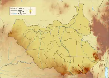
Iro is a mountain in South Sudan.[1] It is located in the state of Imatong, in the south-eastern part of the country, 110 km southeast of the capital, Juba. Before the reorganisation of states in 2015, it was part of Eastern Equatoria. The top of the Iro is 1091 meters above sea level.[1]
| Iro | |
|---|---|
| Highest point | |
| Elevation | 1,091 m (3,579 ft) |
| Coordinates | 4.19006°N 32.33484°E |
| Geography | |
| Location | Imatong State, South Sudan |
The terrain around Iro is flat. The highest point is near Lokiri, 1691 meters above sea level and 5.4 km north of Iro. The area is sparsely populated. There are no communities nearby. In the neighbourhood around Iro are many unusually named mountains, significantly more within 20 km radius compared to the average prevalence of named those on Earth.[1]
References
- "Iro". GeoNames.org. Retrieved 11 September 2015.
This article is issued from Wikipedia. The text is licensed under Creative Commons - Attribution - Sharealike. Additional terms may apply for the media files.