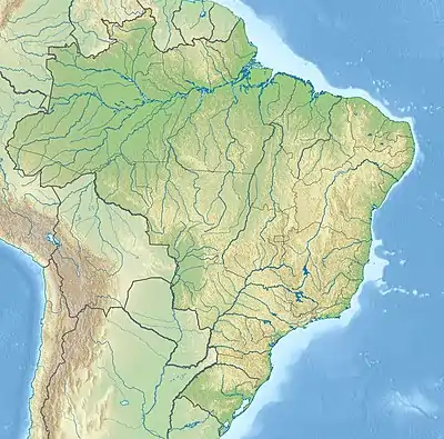
Itapecuru River
The Itapecuru River (Portuguese: Rio Itapecuru) is a river in the Maranhão state of northern Brazil.
| Itapecuru River | |
|---|---|
.jpg.webp) Itapecuru River, in Rosário city | |
 | |
| Native name | Rio Itapecuru (Portuguese) |
| Location | |
| Country | Brazil |
| Physical characteristics | |
| Source | |
| • location | Serra da Crueira[1] |
| • elevation | 530 m |
| Mouth | |
• location | Baía de São José |
• coordinates | 2.778510°S 44.157059°W |
• elevation | 0 m |
| Length | 1,041 km |
| Basin features | |
| Tributaries | |
| • left | Alpercatas River |
Course
The Itapecuru originates in the southern part of the state, in the Serra do Itapecuru, which rises to 660 metres (2,170 ft), and flows northward to empty into the Baía de São José. It is an important source of water for twenty cities in Maranhão including São Luís. Some of the headwaters of the river are protected by the 437,000 hectares (1,080,000 acres) Mirador State Park, created in 1980.[2]
References
- SILVA, Raimundo Nonato Medeiros. "Caracterização dos impactos ambientais no Rio Itapecuru no trecho entre Veneza e Raízes na cidade de Caxias-MA". ABRHidro (in Portuguese).
- PES de Mirador (in Portuguese), ISA: Instituto Socioambiental, retrieved 2016-08-04
This article is issued from Wikipedia. The text is licensed under Creative Commons - Attribution - Sharealike. Additional terms may apply for the media files.