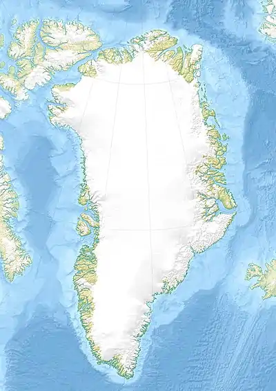
J. A. D. Jensen Nunataks
J. A. D. Jensen Nunataks (Danish: J. A. D. Jensen Nunatakker) are a nunatak group in Greenland. Administratively it falls under the Sermersooq Municipality.
| J. A. D. Jensen Nunataks | |
|---|---|
| J. A. D. Jensen Nunatakker | |
 J. A. D. Jensen Nunataks | |
| Highest point | |
| Elevation | 1,667 m (5,469 ft) [1] |
| Coordinates | 62°49′N 48°55′W [2] |
| Geography | |
| Location | Sermersooq, Greenland |
| Climbing | |
| First ascent | Unknown |
This geographic feature was named after Danish naval officer and Arctic explorer Jens Arnold Diderich Jensen.[3]
Geography
The J. A. D. Jensen Nunataks are located in Southwest Greenland to the northeast of the Dalager Nunataks,[4] near the western limit of the Greenland Ice Sheet and about 60 km from the coast.[2][5]
The nunatak area is 13 km in length and its maximum width is 8 km; the highest elevation is located at the southeastern end and is 1,667.8 metres (5,472 ft) high.[1]
Climate
Polar climate prevails in the region. The average annual temperature in the area of the J. A. D. Jensen Nunataks is -14 °C. The warmest month is July when the average temperature reaches -4 °C and the coldest is February when the temperature sinks to -20 °C.[6]
See also
- List of nunataks of Greenland
References
- GoogleEarth
- "J. A. D. Jensen Nunatakker". Mapcarta. Retrieved 12 August 2016.
- Jensen, J. A. D. (1878). J.A.D. Jensens indberetning om den af ham ledede expedition i 1878 [Report on the J.A.D. Jensen Expedition 1878]. Meddelelser om Grønland (in Danish). 1.
- "Dalager Nunatakker Map, Greenland on Mapcarta".
- "Geological Survey of Denmark and Greenland Bulletin on Core" (PDF).
- "NASA Earth Observations Data Set Index". NASA. Retrieved 30 January 2016.